The scenic drives in the Smokies can introduce you to plenty of wildlife, rushing streams, colorful flowers, lush forests, mountain vistas, and historic buildings—all from the seat of your car. To get the full flavor of the Smokies, be sure to park in plenty of the many pull-offs so you can get out and explore on foot as well.
This is the sixth in a series of blog posts describing the park’s best scenic drives.

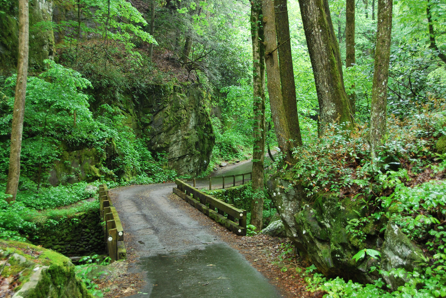
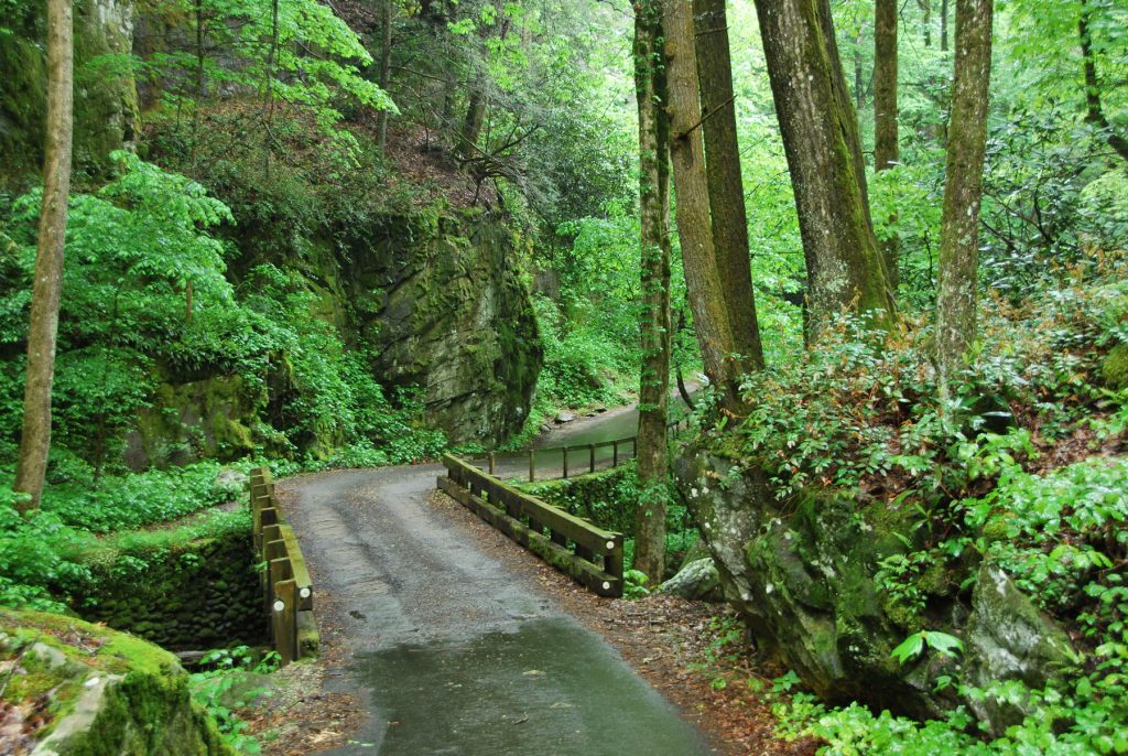
This outstandingly pretty drive through deep woods follows a rushing mountain stream that the route crosses several times. The wooded and winding drive is often less crowded than Cades Cove and has historic structures of its own you can visit. Note that it’s closed from sunset to sunrise—and it’s closed entirely in winter.
To get to the start of this drive, turn off the main parkway in Gatlinburg at traffic light 8 and follow Historic Nature Trail/Airport Road to the Cherokee Orchard entrance to the national park. This route (from light 8 to where loop drive ends at Low Gap Road outside of Gatlinburg) is nine miles and takes about an hour to drive, not counting stops.
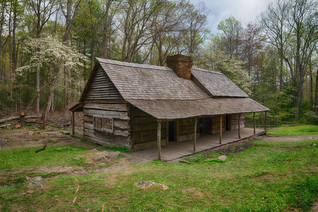
Soon after you enter the park and continue on Cherokee Orchard Road, you’ll come to the Noah “Bud” Ogle Place Nature Trail (0.75 mile round trip) on the right. If parking spaces are available, try the loop walk to see the Noah “Bud” Ogle Cabin and what was once the Ogle farm.
Farther along on Cherokee Orchard Road at marker 2 is the trailhead for the popular Rainbow Falls Trail (5.4 miles round trip). Note that there are usually seasonal restrooms available here.
Just beyond the Ogle Place and the trailhead for Rainbow Falls on Cherokee Orchard Road is the start of the 5.5-mile one-way Roaring Fork Motor Nature Trail, which continues into the park where Cherokee Orchard Road begins to loop back to the Ogle Place.

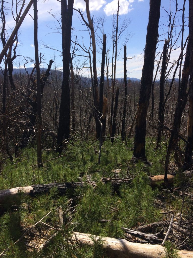
At various places around Roaring Fork Motor Nature Trail, a careful eye may be able to discern the impacts of fire on the landscape where blackened stumps have given way to new growth. In 2016, the human-caused Chimney Tops 2 fire combined with drought and extreme winds to create the largest wildfire in park history, burning about 11,000 acres in the park altogether. Evidence of this fire can still be seen along this drive.
“The 2016 wildfires are without precedent in the annals of the park’s fire history,” said NPS Fire Ecologist Rob Klein, “but the plants and animals are responding in ways that point to the resilience of this landscape in the face of millennia of similar disturbances.”
Today, the casual observer will likely only be able to notice the areas of oak or pine forest where the fire was most intense. On some surrounding hillsides are thickets of Table Mountain pine about three-to-five feet tall, particularly on nearby Baskins Creek Trail. These special pines rely on cycles of natural fire to spread their seeds and regenerate. Prior to the fire, these trees were thought to be at risk of disappearing in the Smokies.
“High-intensity wildfires are very uncommon in our area,” said Jennifer Franklin, professor of forestry at the University of Tennessee. “But we know that they do occur and may have been an important natural disturbance that has shaped the eastern hardwood forests that we see today.”
At marker 5 is the trailhead for the Trillium Gap Trail, which is the way to Grotto Falls—a fun 2.4-miles roundtrip hike where you can actually walk behind the waterfall. There are also seasonal restrooms typically available at this trailhead. To hike to Grotto Falls in winter, you can walk to the trailhead from the start of the motor trail, which adds two miles each way.
Marker 10 denotes the Jim Bales Place, while 11 marks the Ephraim Bales home. Ephraim and his wife, Minerva, had nine children and farmed 30 of their 70 acres. Ask your kids to find the “Granny hole,” a tiny square window in their double log cabin.

At marker 12 is the fancier (and more colorful) Alfred Reagan Place. Reagan was a jack-of-all-trades, spending time as a carpenter, blacksmith, shopkeeper, miller, and even a lay preacher. Check out his tub mill across the road from his house.
Marker 15 indicates at a spot on the left called the Place of a Thousand Drips—a tall, rocky cliff that has either barely a trickle of water during dry spells or a series of cascading waterfalls in rainy weather.
The end of the Motor Nature Trail deposits you outside the park. Turn left to return to downtown Gatlinburg and the entrance to the park.
Fun Fact: As you’re driving on Cherokee Orchard Road on your way to the Roaring Fork Motor Nature Trail, you will pass the Twin Creeks Science and Education Center tucked back in the woods. This building (which is not open to the public) is the headquarters for the park’s resource management staff—the folks who study the park’s air and water quality, among other things. The building also houses office and lab space for the many visiting scientists who come to the Smokies each year to study the amazing number of plants and animals. Twin Creeks also provides state-of-the-art facilities for the park’s natural history collection containing many thousands of specimens. You can read all about Twin Creeks in a special profile published in the spring 2021 issue of Smokies Life.
Katy Koontz is an award-winning freelance writer, author, and editor whose work has appeared in numerous publications. She has served as a freelance editor for several best-selling authors and is herself the author of several works, including Family Fun in the Smokies: A Family-Friendly Guide to the Great Smoky Mountains, Smoky Mountain Travel Guide, and The Banana Police.
Subscribe to get the latest posts sent to your email.
The Great Smokies Welcome Center is located on U.S. 321 in Townsend, TN, 2 miles from the west entrance to Great Smoky Mountains National Park. Visitors can get information about things to see and do in and around the national park and shop from a wide selection of books, gifts, and other Smokies merchandise. Daily, weekly, and annual parking tags for the national park are also available.