

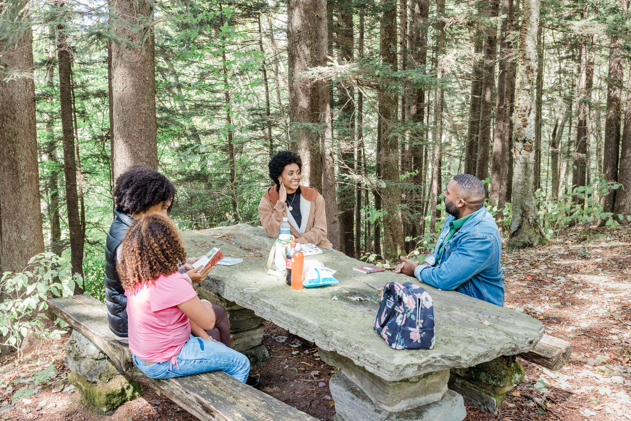

If you spend much time at all in Great Smoky Mountains National Park, chances are you will be picnicking at some point—even if you’re just munching on a sandwich while sitting on a log or a rock. But fortunately, there are much more comfortable options. Five of the park’s 10 formally designated picnic areas are currently open, and each has picnic tables, grills, water fountains, and restrooms. Here are descriptions of each, plus two unofficial but postcard-perfect picnic spots where you can spread a blanket out on a wide, grassy field.
Remember, no matter where you decide to have your picnic, be sure to Leave No Trace. Use the bear-resistant trash receptacles in each area to dispose of trash and food scraps, which could attract bears. And if you wade in any of the nearby rivers, avoid moving any rocks. Aquatic creatures often make their homes underneath.
Metcalf Bottoms
With 165 picnic sites, Metcalf Bottoms is one of the larger and more popular picnic areas in the park. Picnic tables line the banks of the Little River here, making this an especially good choice for families whose kids enjoy playing along the water’s edge and looking for salamanders. You’ll also find a horseshoe pit.
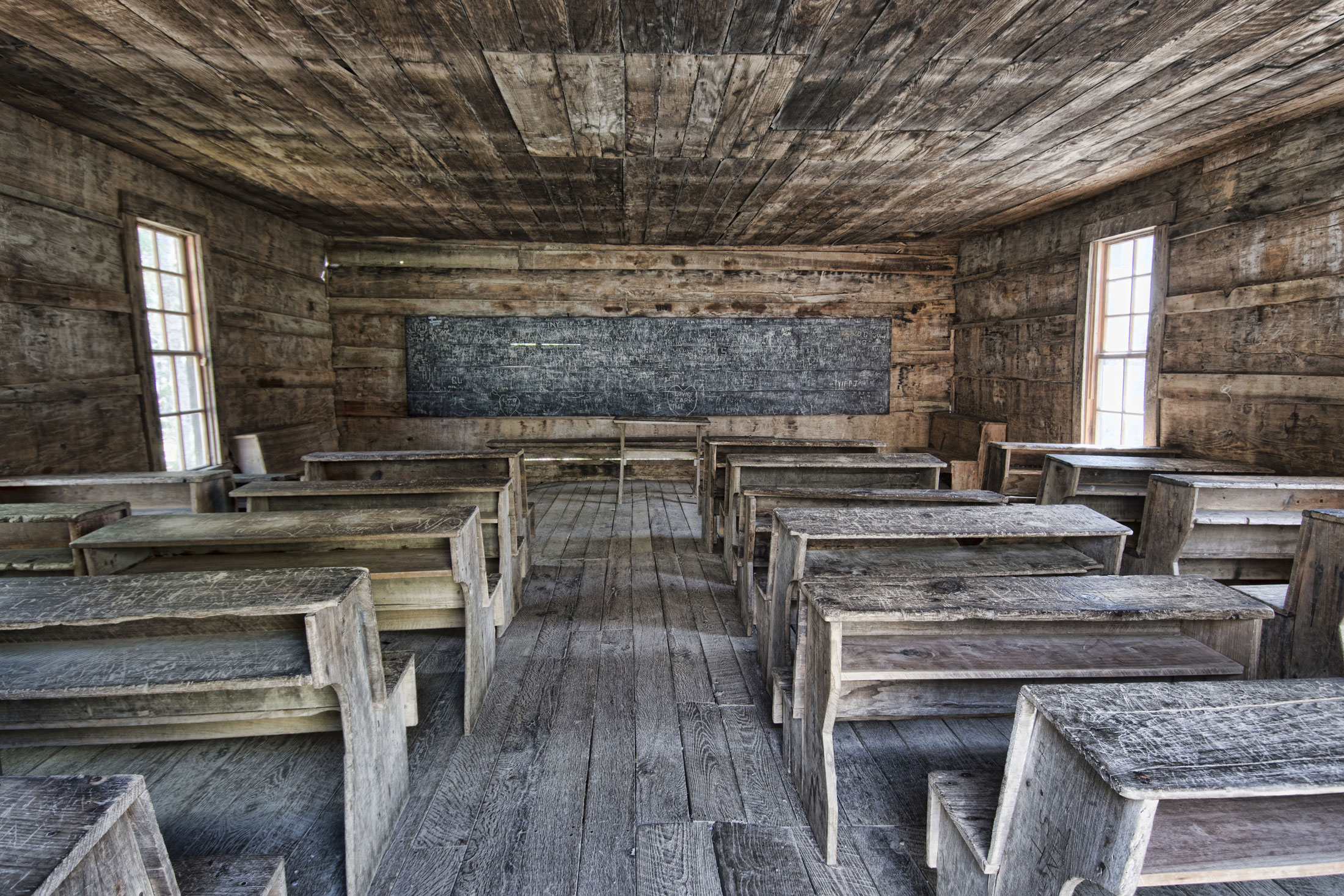
For a fun activity after lunch, drive over the bridge and down the gravel road for one mile to get to the historic Little Greenbrier School. You can also hike there via Metcalf Bottoms Trail (1.2 miles roundtrip).
Cades Cove
This picnic area is off of Laurel Creek Road, not far from the start of the Cades Cove loop drive, so it’s also very popular. Many of the 81 sites here sit along a stream. If you forgot picnic supplies (or simply want more goodies to munch on), you can buy provisions in the nearby campground store—the only picnic area in the park to have this advantage.
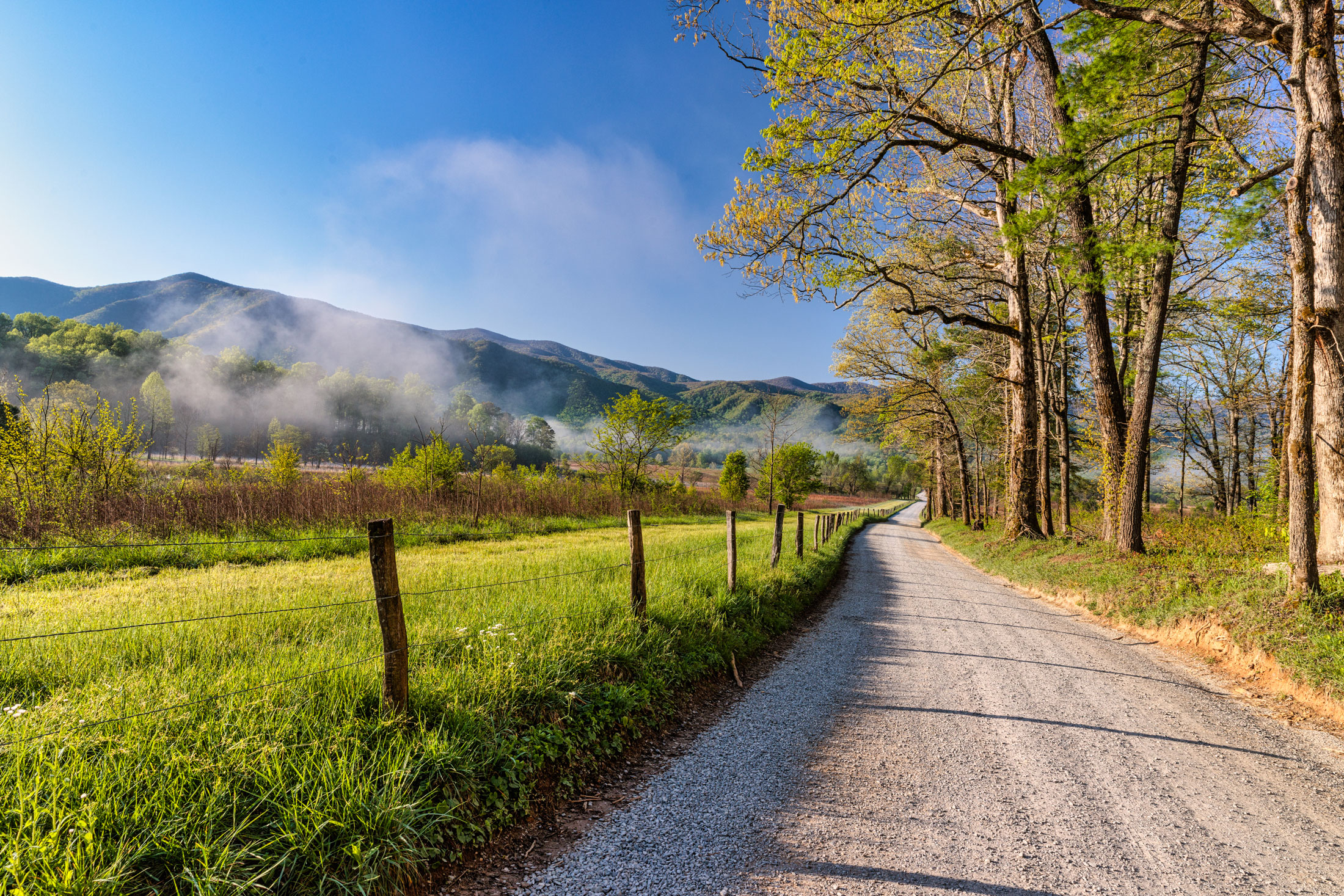
Close by, you can go horseback riding at Cades Cove Stables or opt to enjoy the half-mile Cades Cove Self-Guiding Nature Trail in the adjacent campground.
Chimneys
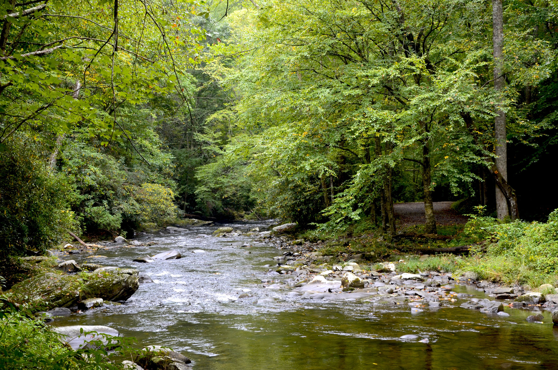
Just five miles from Sugarlands Visitor Center on Newfound Gap Road, the 89-site Chimneys Picnic Area gets lots of visitors. To get a site by the rocky, slow-moving stream (perhaps near a small cascade), drive to the far end of the picnic area and follow the road as it loops back down toward the entrance again.
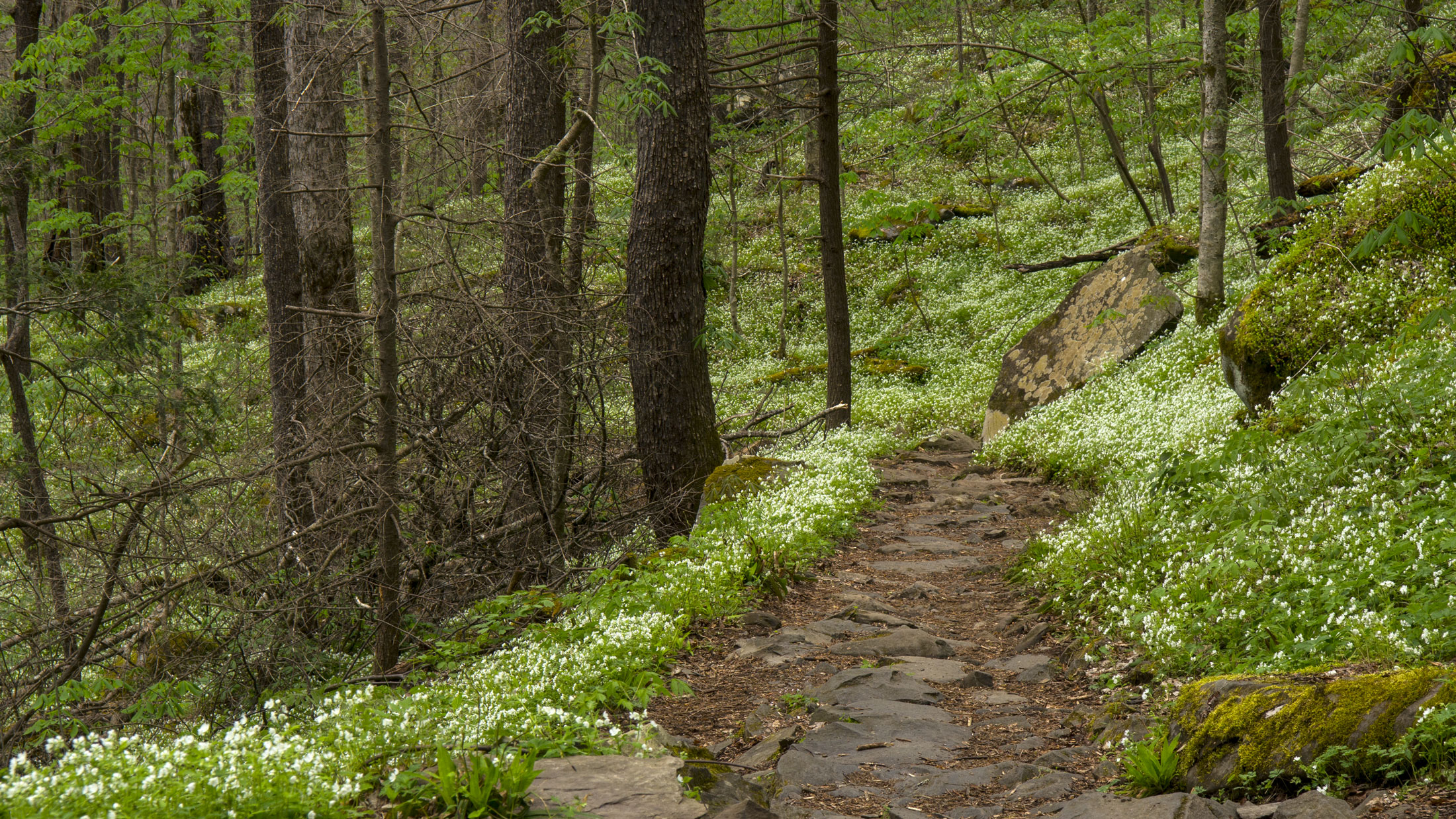
You’ll find the trailhead for the Cove Hardwood Self-Guiding Nature Trail (0.8 miles roundtrip) here. It’s widely considered the park’s best spring wildflower walk, but it’s an excellent trail any time of the year. This picnic area closes at 8 p.m. from late April through early September and at sunset during the rest of the year.
Fun Fact: Chimneys Picnic Area used to be the site of a park campground (one of the first two in the national park), which closed in 1969.
Greenbrier
This picnic area might be small (only 12 tables) but it’s sweet indeed, in part because it’s usually uncrowded. If it happens to be full when you go, you will find several pull-offs along the road following the creek and leading further into the park from the Greenbrier entrance. In a pinch, the many large boulders in the creek are also good perches for a picnic.
Nearby is the trailhead for Porters Creek Trail (two miles roundtrip), a particularly lovely hike in spring during wildflower season; to find it, follow the road all the way to the loop at the end.
Fun Fact: The Greenbrier area of the park once included four gristmills, two churches, two stores, two blacksmith shops, a school, three cemeteries, and the Greenbrier Hotel (which was also known as the LeConte Hotel). After the park was established, a campground opened where the Greenbrier picnic area is now, operating from the early 1940s until 1973.
Deep Creek
This 58-site picnic area is near Deep Creek Campground, not far from Bryson City, North Carolina. The right side of the picnic area has tables along the wide but tame Deep Creek, popular for wading. Because of that, the restrooms here also have men’s and women’s dressing stations—the only such changing areas you will find in the national park.
There are a few short but notable hiking options nearby. At the end of the road leading further into the park, you will find trailheads for trails to Juney Whank Falls, Indian Creek Falls, and Tom Branch Falls. If you link the three together, you will be enjoying what is informally known as the Three Waterfalls Loop (2.4 miles roundtrip, although you can take shorter options).
The Townsend Wye
This is not an official park picnic area, but plenty of visitors to the Smokies have discovered that the Townsend Wye (also spelled Townsend Y) is a perfect spot to spread out a blanket and enjoy a picnic. It’s right at the Townsend entrance to the park, where two forks of Little River join to create a wye. In addition to the grassy banks, there are also shaded places along the pebbly riverbank below the roadway, good spots to set up a few folding chairs. The river is clear, broad, and calm here, perfect for wading.
Be aware that you won’t find picnic tables, grills, or restrooms here, although port-a-johns may be available during peak season.
Andrews Bald
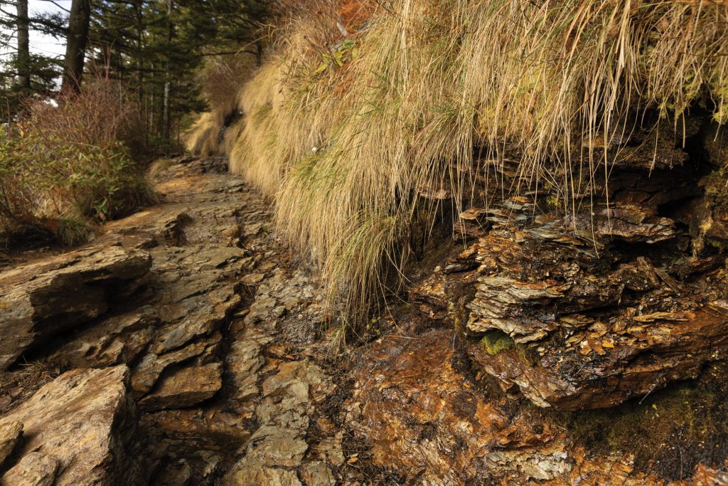
Getting to this classic picnic spot—also not an official picnic area—requires taking a hike on Forney Ridge Trail (the part to Andrews Bald is 3.6 miles, roundtrip). The trailhead is in the Kuwohi parking lot, formerly known as Clingmans Dome. While the trail is rocky in spots, especially near that start, there’s not much elevation change. Once you make it to the bald, you can enjoy a nearly 360-degree vista at an elevation of 5,860 feet while you spread your picnic blanket in the wide-open, natural-grass and wildflower meadow.
How and why these grassy balds formed is a mystery; they were already here when the first European settlers arrived. Lightning, ice storms, insects, animal grazing, windstorms, disease, fire, and Native American occupation have all been suggested as causes at various times. Andrews Bald is particularly lovely in July when the high-elevation rhododendrons bloom.
For more information about picnicking in Great Smoky Mountains National Park, visit nps.gov/grsm/planyourvisit/picnic.htm.
Subscribe to get the latest posts sent to your email.