

It can be hard to find a place to bike in Great Smoky Mountains National Park. You won’t find any mountain biking trails, and although bikes are permitted on all the park’s roads, most are too steep, too narrow, too winding, and too busy for safe and fun family biking.
Fortunately, spectacular cycling options do exist. Here is a summary of all the best places in the park to ride a bike. (By the way, you are also allowed to bike around the park’s campgrounds, but the options below are much more scenic!)
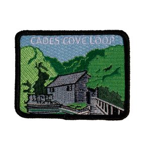
Cades Cove
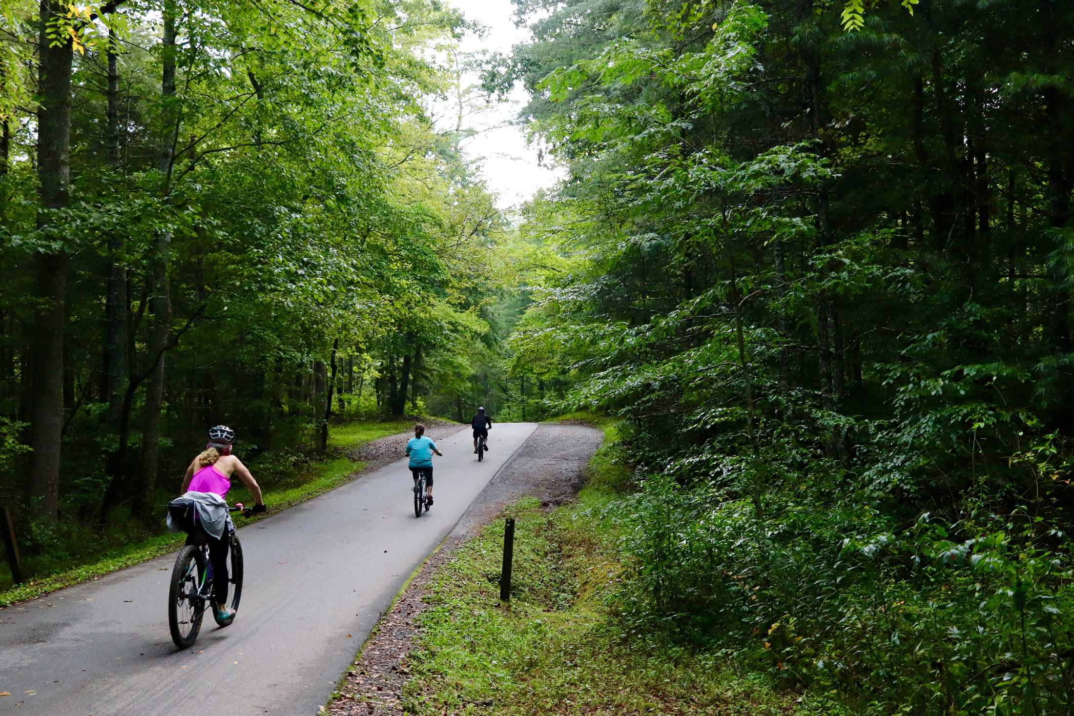
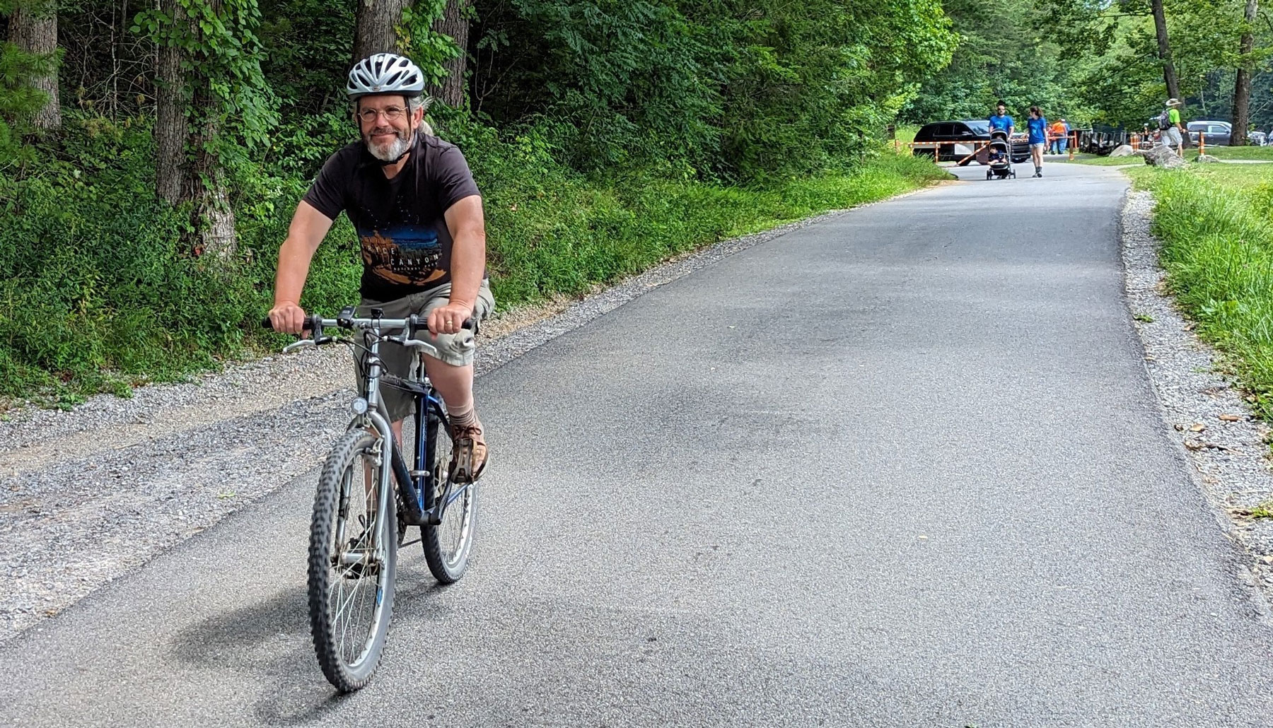
Hands-down, the best place for biking in the park is the 11-mile Cades Cove Loop Road—especially on Wednesdays in the summer, when the road is closed to motor vehicles all day. Without all the cars that usually snake around the loop, you’ll be able to enjoy a peaceful ride. This pedal-friendly policy starts June 18 this year and goes through September 24. You can ride either a standard bike or an electric bike (class 1 and class 2 only).
Morning is the best time of day to ride if you want to see wildlife, so if you go then, look out for critters (especially deer). Be sure to hop off your bike every now and then to visit some of the 19th-century homesites along the way.
Most of the loop road is fairly flat, but the far side of the cove includes some very steep grades and a few sharp, blind curves. However, if you cut across Cades Cove on either of the two roads through the middle, you can avoid all of these challenges and still have a great ride. Taking the Sparks Lane cutoff makes for a four-mile loop ride, and if you take the Hyatt Lane cutoff a little further down the road, your ride will be a total of eight miles.
If you don’t have your own bike, you can rent one from the Cades Cove bike rental shop (865.448.9034 or CadesCoveTrading.com/bikes) in the Cades Cove campground, near the start of the loop drive. The bike shop is open from March 1 through late December, seven days a week. On most days, it opens at 9 a.m., but on those summer Wednesdays when the loop drive is closed to cars, it opens at 7 a.m. Bikes go quickly on those days, so it’s best to call in advance for reservations.
The bike shop has a wide selection of Fuji cruiser bikes for adults (including single-speed and seven-speed) and for children (in three sizes). Adult bike rentals are $15.00 per hour, and children’s bikes are $10.00 per hour. Helmets are included in the rental fee, and state law requires children ages 16 and under to wear them. The bike shop requires all riders to wear closed-toe shoes (no flip-flops).
Gatlinburg Trail
This wide, flat trail runs between Sugarlands Visitor Center and the town of Gatlinburg (two miles one way, four miles roundtrip), ending near the intersection of River Road and US 441.
If you start on the Gatlinburg end, the crushed gravel path follows the West Prong of the Little Pigeon River and passes the remains of summer homes that were here before the park was established. The path then leads you under a Gatlinburg Bypass overpass and by the park’s maintenance sheds. Then it meets and runs parallel to Park Headquarters Road before passing the park headquarters building, which is currently under construction.
At the corner of Park Headquarters Road and the road leading to the parking area for the headquarters building, you will see a small cemetery among the trees on the rise. On the front side of the park headquarters building, a pathway leads to the stone porch and then continues along the edge of a tree-dotted lawn before arriving at restrooms and vending machines. From there, the entrance to Sugarlands Visitor Center is just around the corner to the left.
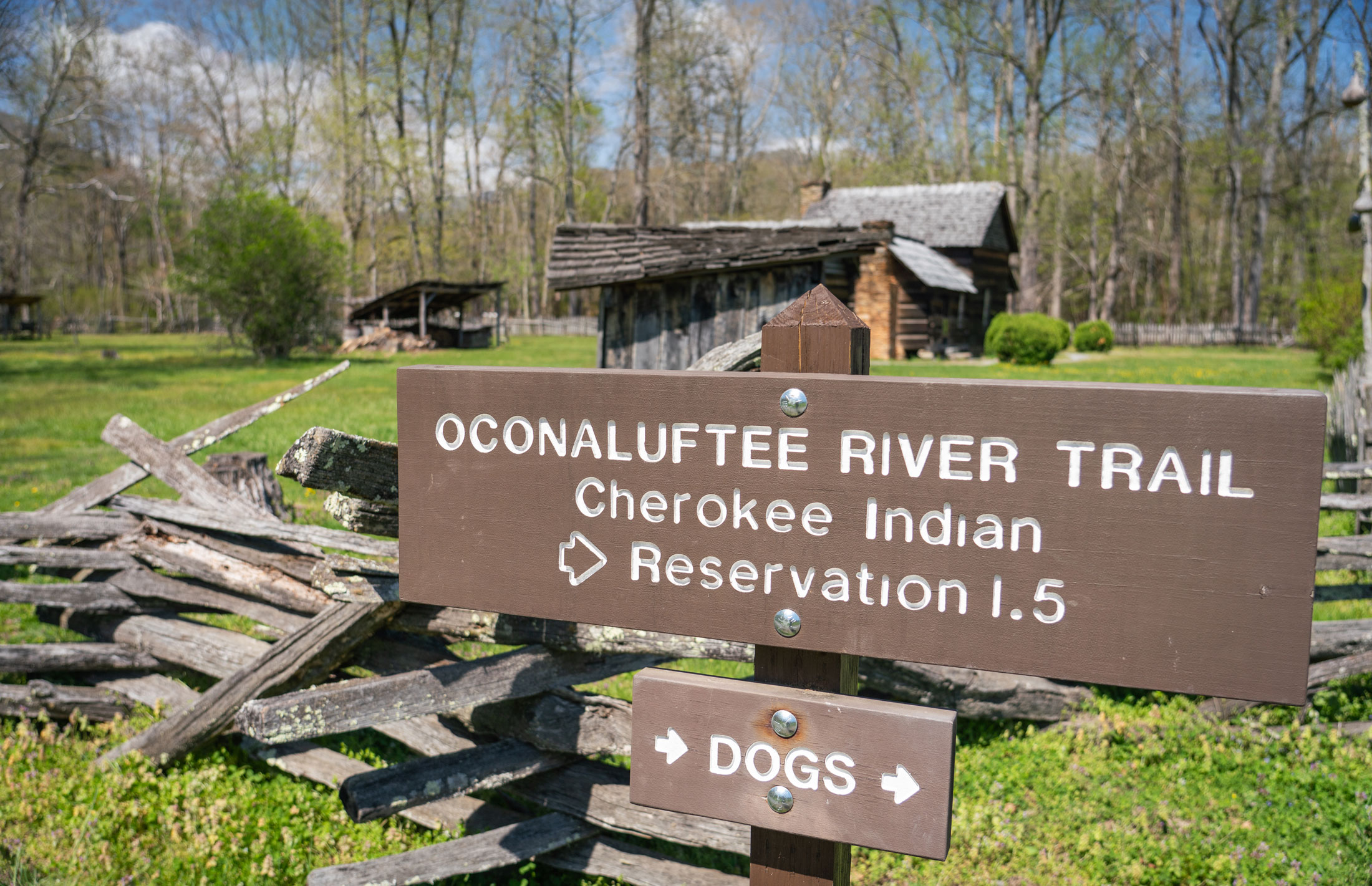
Oconaluftee River Trail
This trail on the North Carolina side of the park runs from the Oconaluftee Visitor Center to the town of Cherokee (1.5 miles one way, three miles roundtrip). Most people start at the visitor center, where you’ll also find restrooms and vending machines.
To get to the trailhead, look for the Mountain Farm Museum path. The Oconaluftee River Trail peels off to the right, at first taking you through a field and around the fence surrounding the museum gardens and buildings. Before long, you’ll head into the woods and along the Oconaluftee River on a hard-packed dirt and gravel path. The end of the trail leads you out of the woods to a small grassy spot across from a shopping area on the Qualla Boundary, home to the Eastern Band of Cherokee Indians.
Deep Creek Trail and Indian Creek Trail
The last two bikeable trails are the lower graveled sections of both the Deep Creek and the Indian Creek trails in the Deep Creek section of the park, near Bryson City, North Carolina. On Deep Creek Trail, you can bike the two-mile stretch from the trailhead near Deep Creek Campground to the end of the graveled surface. On Indian Creek Trail, you can bike on a 2.9-mile segment from where the trail begins at the junction with Deep Creek Trail to its junction with Deeplow Gap Trail.
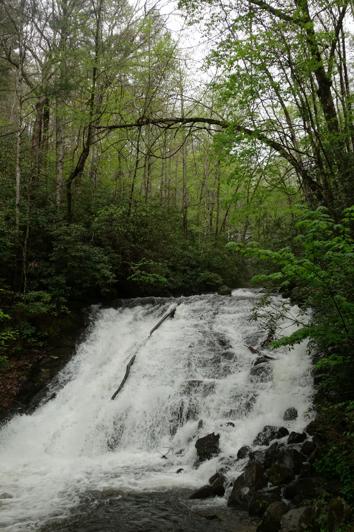
For a great double-waterfall biking tour, start at the Deep Creek Trailhead and bike 0.2 miles to Tom Branch Falls, which you’ll see on the right. Continue riding for an additional half mile and then turn right onto Indian Creek Trail. Just 200 feet after this junction, on the left side of the trail, get off your bike and walk down the bank to see Indian Creek Falls. Once you’re back on your bike, continue up this trail for almost 3 miles before the gravel ends and you have to turn around. If you bike this whole way, it makes for a 7.2-mile ride roundtrip.
Note that there is a third waterfall worth visiting in the Deep Creek area—Juney Whank Falls. You can see it by hiking the Juney Whank Falls Loop Trail (0.6-mile roundtrip), which also starts at the beginning of Deep Creek Trail. However, bikes aren’t permitted on this trail.
Subscribe to get the latest posts sent to your email.