


The Smokies offers more than 800 miles of hiking trails, ranging from easy to arduous. Many of these trails are particularly good choices for families because they include historic sites and other interesting opportunities for exploration. This post describes a creekside hike to an old, rusty Cadillac left over from the park’s logging days and onward to Indian Flats Falls. It is the second of a three-part series that shares some of the best kid-friendly hiking options in the park. Find the first installment on the Smokies LIVE blog and check back to catch the third.
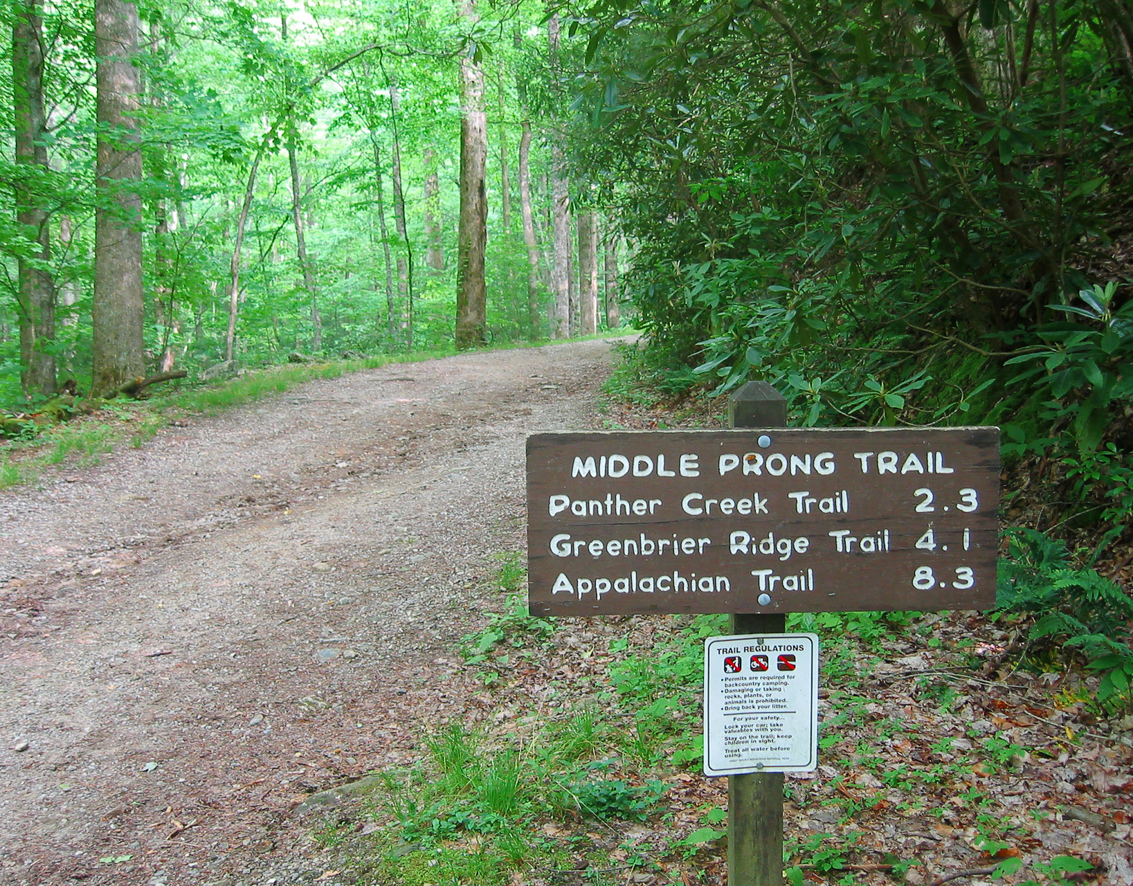
This easy to moderate four-mile roundtrip hike covers the first part of Middle Prong Trail. It follows a wide, graded railroad bed left over from the days when logging companies owned much of the land that now forms the national park. The entire trail is 4.1 miles one way, but to see the old, rusting shell of a Cadillac abandoned here from the 1930s, you need only hike two miles in.
To get to the trailhead, drive the entire 5.2-mile length of Tremont Road, located off Laurel Creek Road just south of the park’s Townsend entrance. The first two miles are paved, up to a point near the turnoff to the Great Smoky Mountains Institute at Tremont. The last 3.2-mile segment is gravel. When you reach the end, park your car and walk over the large metal bridge. The area around the bridge used to be the Tremont base camp—one of three company towns built by the Little River Lumber Company.
At one time, this area boasted a post office, general store, 22-room hotel, and community center (which was used as a school during the week and a church and movie theater on the weekends), as well as some maintenance buildings. Because of agreements the government made with the Little River Lumber Company to acquire the land, logging continued here until 1939, five years after the park was established. That makes Tremont the last area in the park to be logged.
The trail starts out following Lynn Camp Prong; you’ll pass several cascades and small waterfalls along the way. After 0.7 miles, you’ll see a waterfall that falls in three rather perfect-looking steps, the remains of a previous logging company’s splash dam (which assisted the loggers in getting the big logs out before the railroads were built), now more than a century old.
After two miles, look for a narrow but very well-worn side trail on the right that will take you to the Cadillac. The trail is easy to miss, especially in the fall when leaves cover the path, so look carefully for the following landmarks. First, right by the side trail, you’ll find a rhododendron bush with roots wrapping around a large rock. Next to the bush is a small tree with a forked trunk that has a rock about the size of a human head tightly wedged between the trunks. (By the way, if you come to the junction with Panther Creek Trail, you’ve gone too far; retrace your steps for about a third of a mile.)
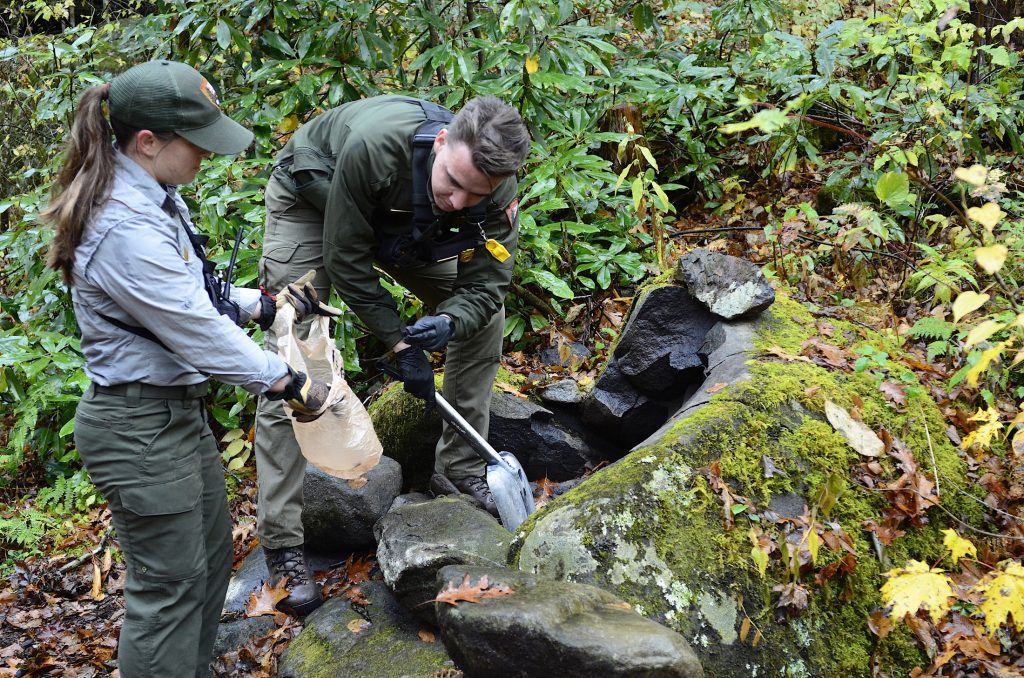
Follow this side trail for about 50 yards up and over a berm and then under a very large fallen log—and that’s where you’ll discover the remains of a rusty old Cadillac. A supervisor of the Civilian Conservation Corps (CCC) camp in this area once owned the car but abandoned it when it stopped running. His men pushed it off the side of the road, and there it still sits. The car’s roof, wheels, and engine are gone, but the frame and the doors survive, along with part of the hood, the bumpers, and a few springs inside that used to belong to the seats. Of the handful of old cars left rusting in the park, this is thought to be the most complete, although parts of the frame and doors were crushed when a tree fell squarely across the old Cadillac within the last year or so. Admire the car from a distance; some of the metal is jagged, and these sharp edges could cause injury.
You can turn around and return the way you came, making the hike a total of four miles, or opt for a longer 7.5-mile adventure if you also want to see Indian Flats Falls, a lovely out-of-the-way waterfall.
To reach the waterfall, return to Middle Prong Trail and continue straight through the junction with Panther Creek Trail. About half a mile further, you’ll see an old brick chimney on the left. This may be the remains of the cabin where William “Big Will” Walker lived. At one time, he was the valley’s largest landowner. Walker had three wives simultaneously and fathered 26 children, and he was a first cousin to the father of the Walker sisters, featured in part one of this series. The remains of the Middle Prong CCC camp (which housed 172 men during the Depression) are also located here.
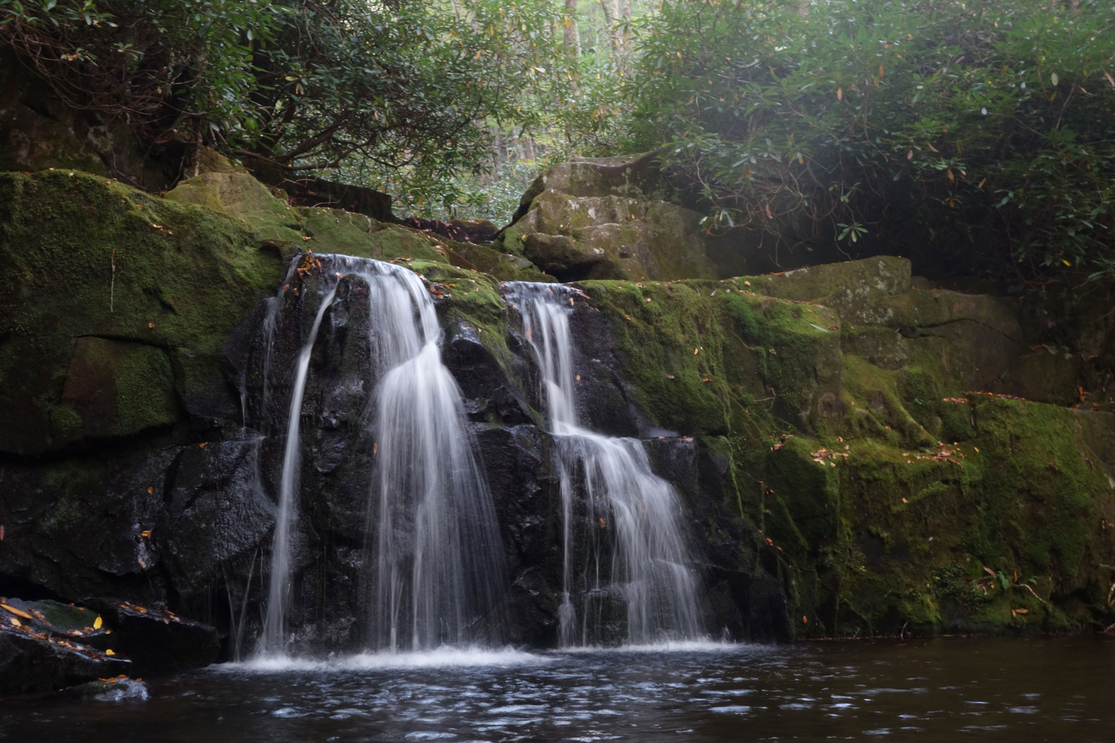
About a mile further, right after a wide bridge over Indian Flats Prong, you’ll start to go uphill. The trail makes a few rounded turns, and then it makes two sharp switchbacks as it climbs—the first switchback turning to the right and the second to the left. As you approach the second switchback, you’ll notice a dark, rocky bluff right in front of you. Here, a small side trail leads off to the right for a few hundred feet over rocks and through rhododendron to Indian Flats Falls.
When you get there, you’ll see the uppermost level of the falls to the left, dropping 20 feet into a picturesque little pool. Immediately in front of you is the second drop (you’ll be standing level with the lip of the drop), followed after a short distance by the falls’ third drop to the right. There’s a fourth drop as well, although it’s well out of sight below, lost in the tangle of rhododendron. This is a simply magical spot, well worth finding.
If you come to the junction with Greenbrier Ridge Trail and Miry Ridge Trail, you’ve gone too far and will need to backtrack. But you can take some consolation in the fact that it’s actually easier to see the side trail to the falls coming downhill on the main trail than it is when going up.
Subscribe to get the latest posts sent to your email.