

The Smokies offers more than 800 miles of hiking trails, ranging from easy to arduous. Many of these trails are particularly good choices for families because they include historic sites and other interesting opportunities for exploration. This post describes a trio of adventures scattered throughout the park: old homesteads along Porters Creek Trail, the fabulous views from Flat Creek Trail, and a fun way to explore a little bit of the famous Appalachian Trail. It is the third in a three-part series that shares some of the best kid-friendly hiking options in the park. Find the first and second installments on the Smokies LIVE blog.
Porters Creek Trail
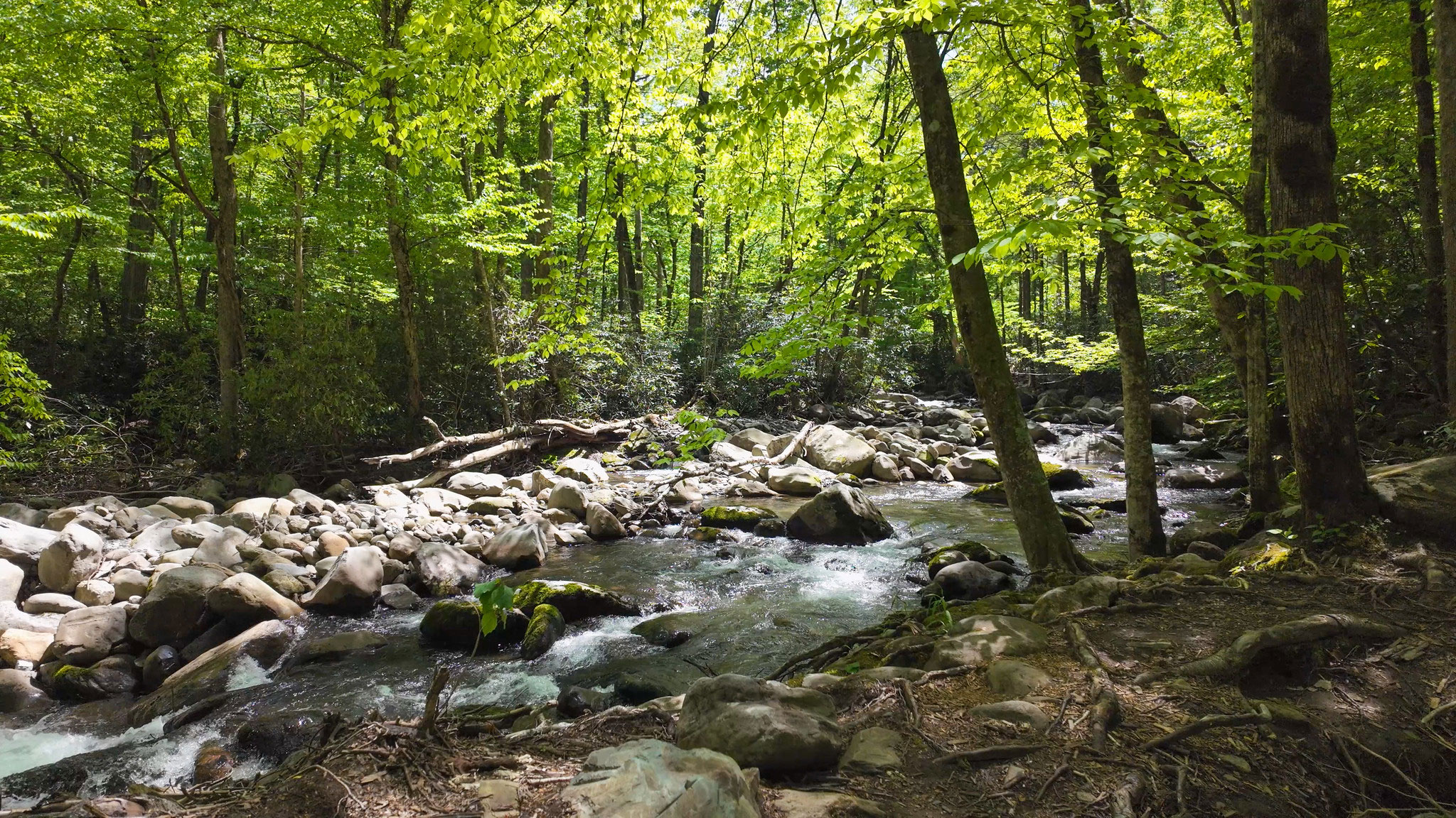
Although Porters Creek Trail is 3.6 miles in total, the first mile (or the first 1.8 miles, if you want to extend your hike to Fern Branch Falls) is the best bet for families, making for an easy 2- to 3.6-mile roundtrip adventure.
You’ll find the trailhead at the end of Greenbrier Road, past the Greenbrier Picnic Area near the Greenbrier entrance to the park off US 321. This trail is wider than many others in the park and follows Porters Creek. Soon after you begin, you’ll come across the foundations of various old homesteads, along with their stone walls, steps, a fireplace or two, and even a few springhouse foundations.
You’ll eventually come across steps on the left of the trail that lead to the small Ownby cemetery, consisting of 23 graves mostly dating from the early 1900s. The majority are simple fieldstones with no inscriptions, while some bear names. You’ll also find some modern headstones that descendants erected to replace some of the older original markers.
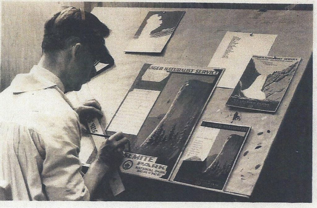
Fun Fact: More than 170 historic cemeteries exist in the national park, half of them tiny family plots used for generations in remote locations. Graves most often faced east, the direction from which Jesus was expected to one day return.
Soon after the cemetery, back in the woods on the right side of the trail, you’ll see an axel and a bumper—the remains of an old car. Immediately after this is a half-log bridge, after which the trail ends in a loop. This is Porters Flat. You’ll find a historic farm site on the right side of the loop road, about 200 yards away. Porters Creek Trail continues off to the left side of the loop road on a narrower path through the woods.
The historic farm site starts with the John Messer Barn, a large, cantilevered barn built about 1875. The roof collapsed in 2023, so the barn is currently off-limits to the public. However, the National Park Service is making progress on plans to repair and restore the building with support from Friends of the Smokies, and work is expected to begin in 2026.
Behind the barn you’ll find a springhouse and a two-room cabin built by the Smoky Mountains Hiking Club in 1934 and used for almost 50 years. The club built its cabin around the original Messer Cabin’s chimney—all that was left of it at the time. Turn around and backtrack from here, returning to the trailhead.
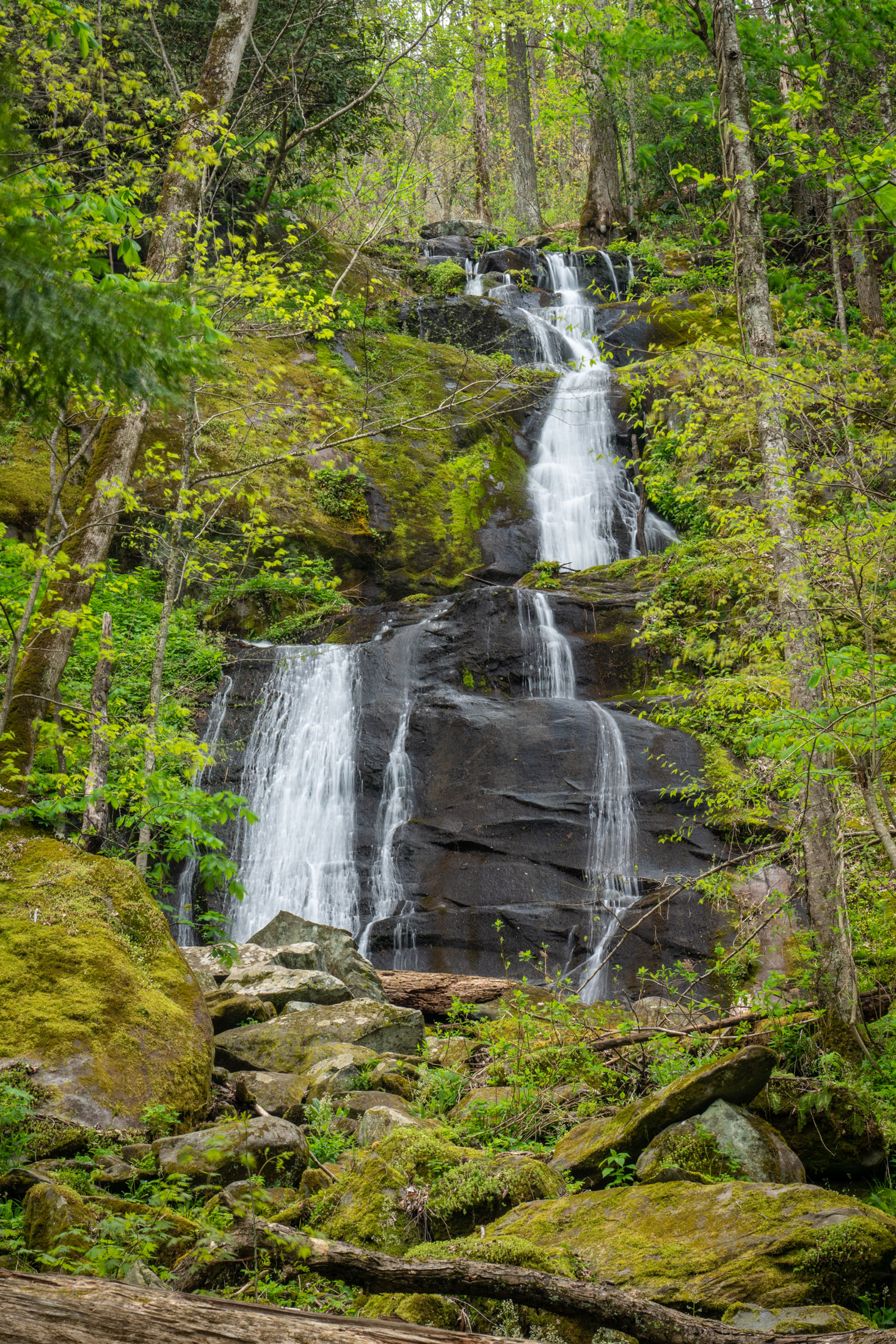
To extend this hike to a waterfall for a total of 3.6 miles roundtrip, continue on Porters Creek Trail for just 0.8 miles. After the long footbridge is a fabulous wildflower spot (on the right) and not long after, you’ll see 40-foot Fern Branch Falls (on the left).
Flat Creek Trail
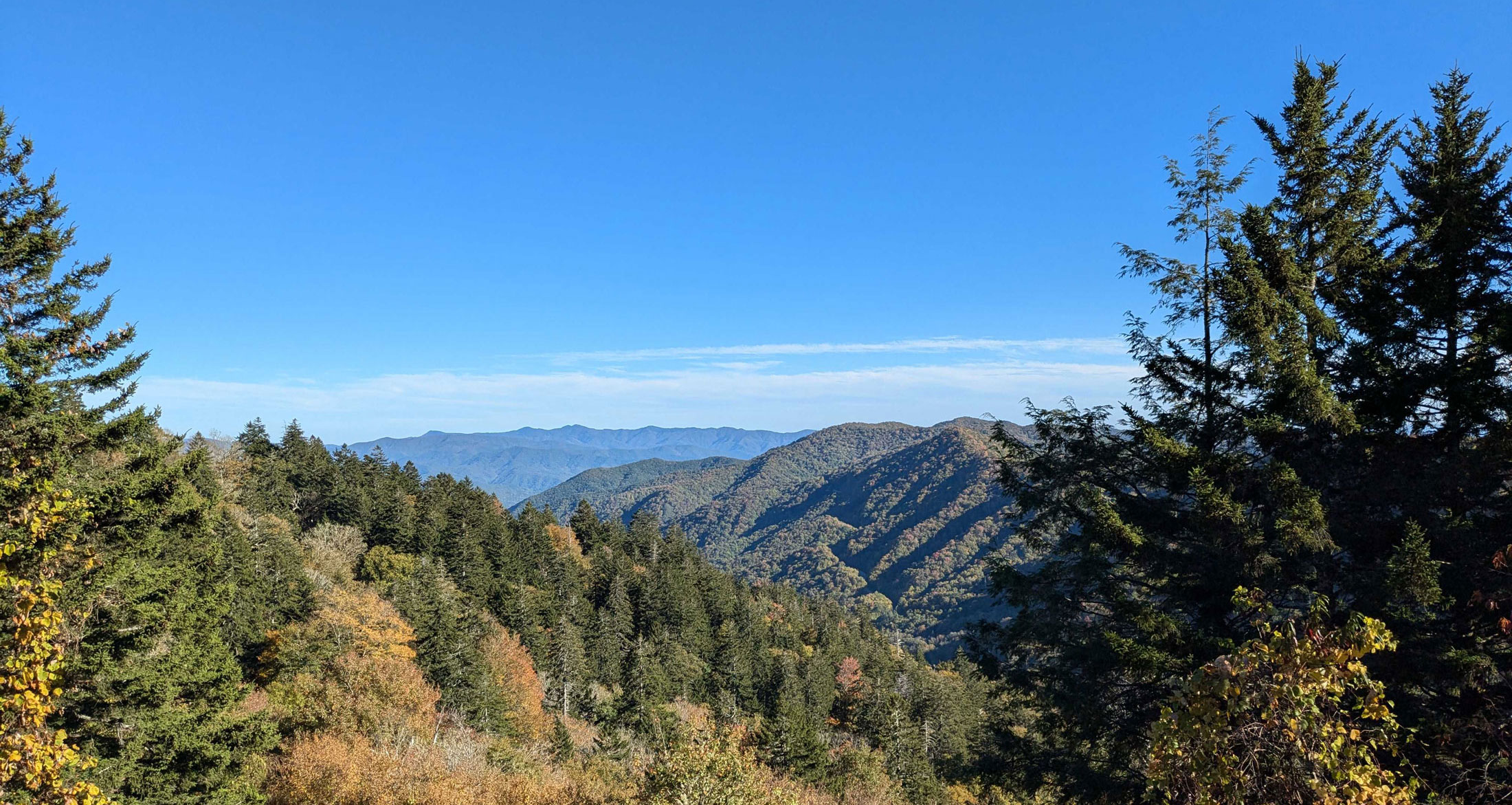
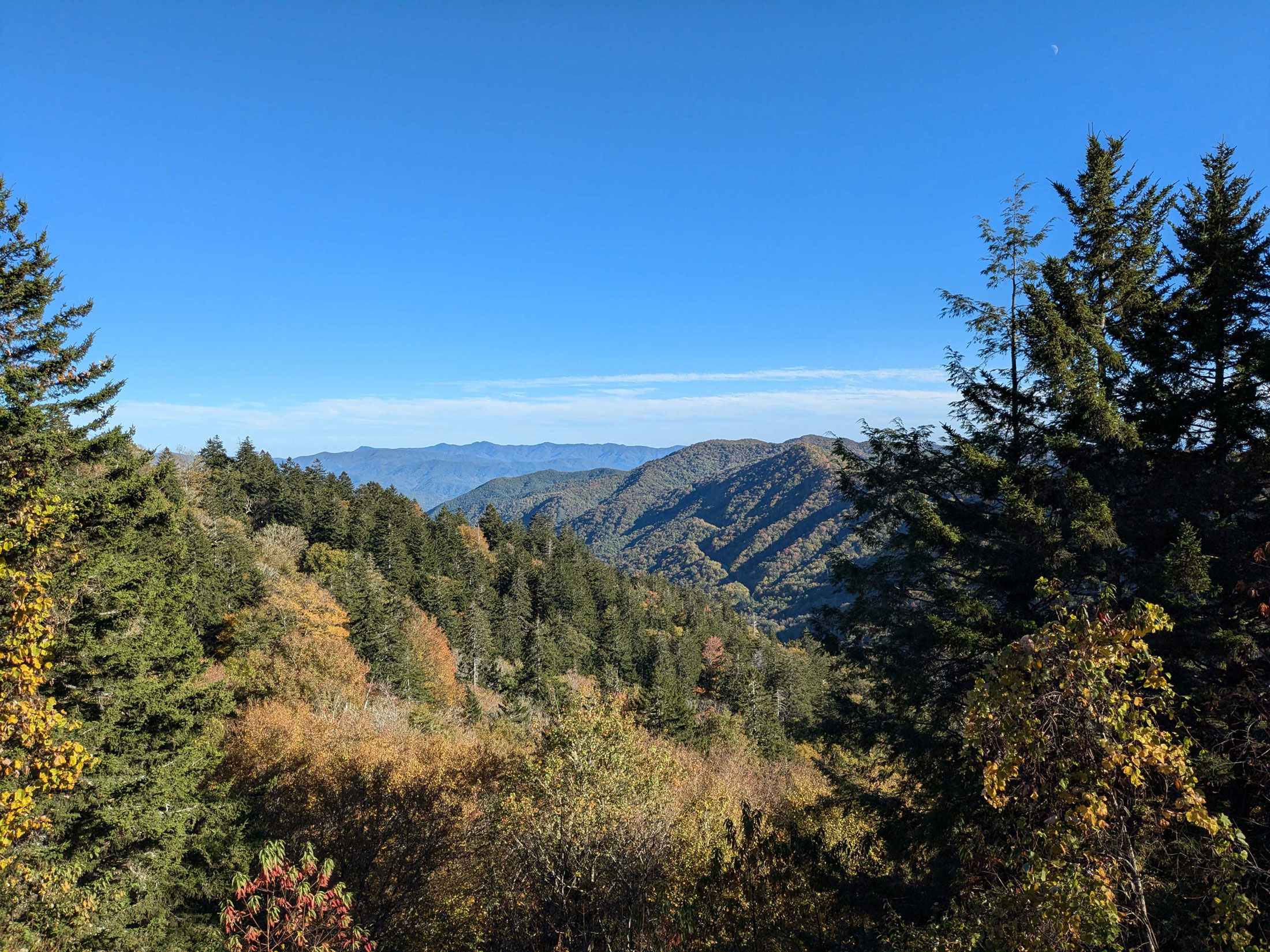
This trail begins high up on Balsam Mountain, close to an overlook with a fabulous view. The trail is sometimes referred to by its old name, Flat Creek Falls Trail, although the side trail to the falls is no longer maintained because it is steep, slippery, and very dangerous. If you keep to the main trail, however, a grand high-elevation hike (resplendent with wildflowers in spring and summer) is in store for you. The moderate hike described here is 5.2 miles roundtrip.
To get to the trailhead, turn onto Heintooga Ridge Road (closed in winter) at the Balsam Mountain sign from the Blue Ridge Parkway, about 11 miles from where the parkway begins just south of the Oconaluftee Visitor Center near Cherokee, North Carolina. Heintooga Ridge Road ends in 8.5 miles at Heintooga Picnic Area and overlook. From the parking area, you will see a sign pointing toward Flat Creek Trail by a roadbed that leads behind the hill where the picnic area begins.
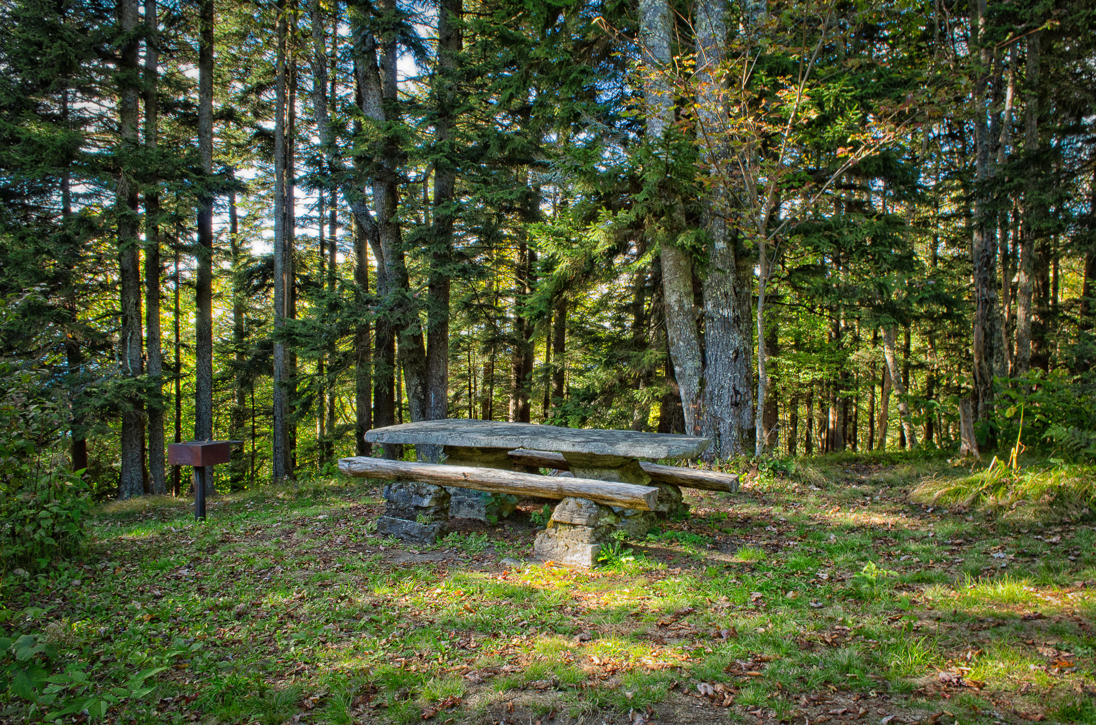
The roadbed will take you a short distance to a spectacular overlook. Not far away, you’ll see the trailhead for Flat Creek Trail leading off to the right of the roadbed, which loops uphill and around the picnic area. There are blackberry bushes growing all along the roadbed by the overlook, offering a sweet snack in August and September. They continue along the trail as well. If you look, you’ll also find a few blueberry bushes.
The trail is fairly easy, with several stream crossings over Flat Creek, although it does get steep for a short portion at the end. If you want to avoid the steep part, turn around when you get to the huge hollow tree on the stream bank, right before one of the half-log bridges.
The trail eventually ends at a point on Heintooga Ridge Road that you passed as you drove in, about 5.3 miles from the Blue Ridge Parkway. There isn’t a parking lot here, so this hike doesn’t work well as a shuttle hike. Once you reach the road, double back to return to the picnic area.
Appalachian Trail (from Newfound Gap to Road Prong Trail)
Your family may not be up to hiking the entire 2,197-mile Appalachian Trail (affectionately referred to as the AT), which travels through 14 states from Maine to Georgia. But for 71.4 of those miles, the AT winds through the Smokies, mostly on the Tennessee-North Carolina state line. It crosses Newfound Gap Road at Newfound Gap and also passes very close to Kuwohi, the highest point on the entire AT, making it easy for families to noodle around on the AT for a bit.
At Newfound Gap, the more crowded section of the trail goes northeast toward Charlie’s Bunion, so perhaps a better option is to hike southwest along a ridgeline to a place called Indian Gap, where Road Prong Trail begins. Note that, due to an August 1 landslide, Newfound Gap Road is currently closed between Sugarlands and Newfound Gap. This means that Kuwohi and Newfound Gap are accessible only from the Oconaluftee entrance in Cherokee, North Carolina.
Fun Fact: At the Indian Gap pull-off on Kuwohi Road, you will find the trailhead for Road Prong Trail. This trail started off as a Native American trail that was widened in 1839 to make a roadway passable for horse-drawn wagons. The road, then called Indian Gap Road, required a toll. Before Newfound Gap Road was constructed in the late 1920s, Indian Gap Road was the major north/south road through the Smokies.
If you have two cars and can shuttle for a one-way hike (1.7 miles), you’ll have a more downhill walk if you start at Indian Gap and hike to Newfound Gap. But this is not an option in winter, when Kuwohi Road is closed. With only one car, you will have to backtrack, making the hike 3.4 miles roundtrip. This is a moderate to difficult hike and is especially lovely in autumn because of the fall colors.
To start from Newfound Gap, cross the road at the crosswalk and turn left to find the trailhead. You’ll not only be following the AT, but you’ll also be walking on the state line between Tennessee and North Carolina for the whole hike.
After the second downhill portion is a special kind of fence designed to protect an area of beech forest from the park’s destructive wild hogs. You’ll walk up a grated incline here that the hogs cannot negotiate. These non-native animals are descendants of European wild boars that escaped from a hunting preserve in North Carolina in the 1920s and mated with domestic pigs from local farms. Every night, these nocturnal beasts root around in search of food, destroying the delicate vegetation of the forest floor and threatening many species.
The enclosure, built in 1984, is one of 20 such fenced-in sites in the park that protect beech forest communities, which are unique to the Southern Appalachians. In about 150 yards, you’ll go through an identical fence to leave the enclosed area.
This section of trail ends where you walk out of the woods to a pull-off on Kuwohi Road at a place called Indian Gap, 1.4 miles from Newfound Gap. You’ll be at 5,272 feet in elevation here, just eight feet short of a mile high.
Subscribe to get the latest posts sent to your email.