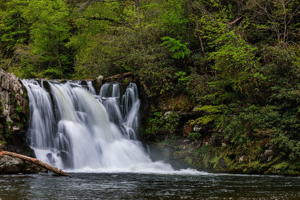


Of all the trails in Great Smoky Mountains National Park, the ones including waterfalls are some of the most popular. With the highest elevations in the Smokies getting sufficient rain to qualify as a temperate rainforest, there’s enough of the wet stuff here to feed 2,100 miles of streams, allowing these mountains to be fairly generous with the waterworks. Fortunately for families, many of the most beautiful falls are not hard to get to.
In general, the best months for waterfalls are March and July, when the Smokies get the most rain. September and October are the driest months but offer fall colors to compensate for the lower flow. These natural beauties are worth visiting any time of year.
Some safety tips: Make sure your kids (and you!) don’t climb on the wet rocks next to or in the falls, since they can get slippery. And as tempting as it may be to take a dip, don’t. The pools at many of the falls have strong undertows. Drowning is a leading cause of death in the Smokies.
These waterfall hikes for families, arranged in order of difficulty, vary from 0.7 to 2.4 miles roundtrip. Watch out for the second part of this series, which will feature a trio of longer waterfall hikes for families seeking a more challenging adventure.
Cataract Falls
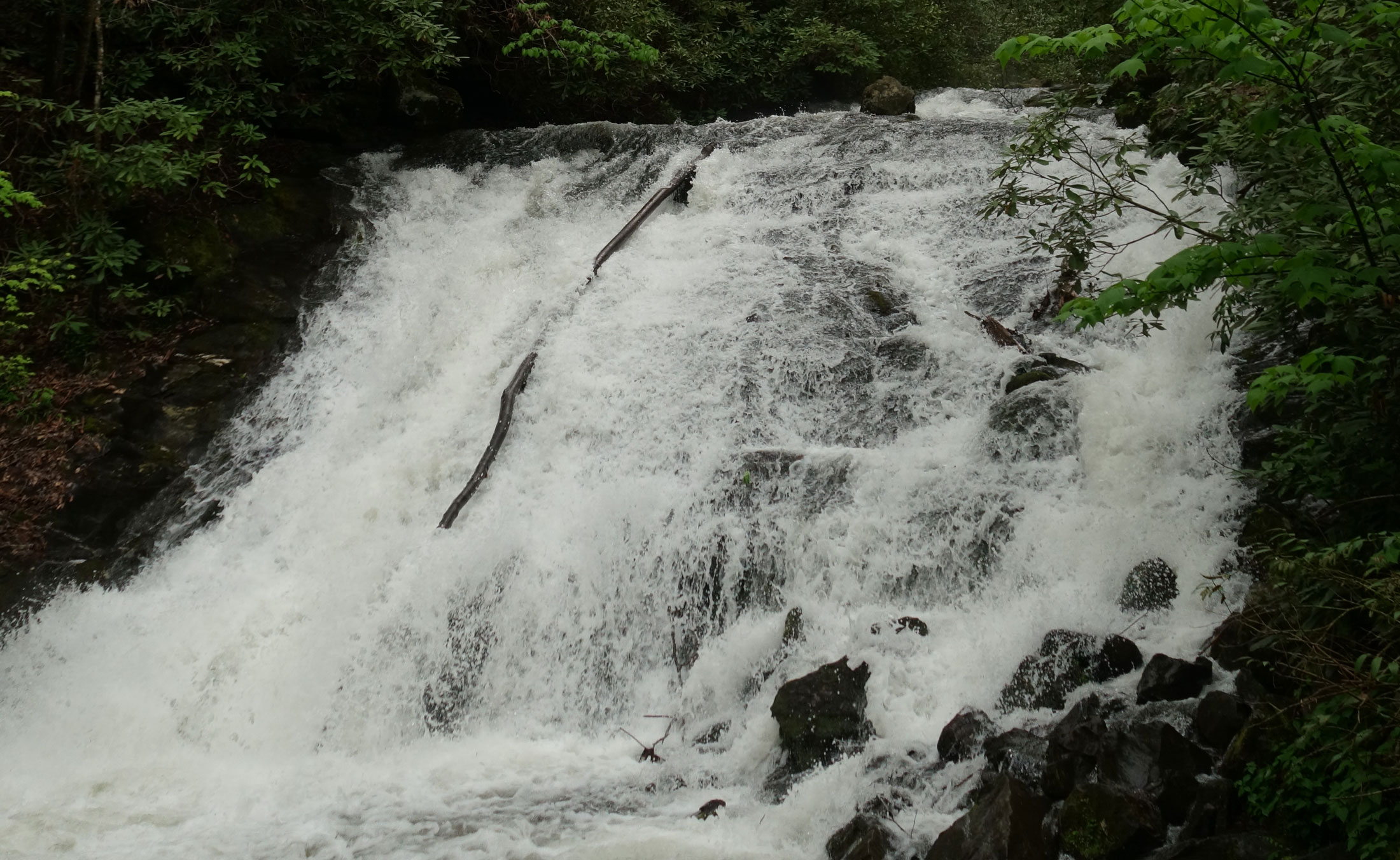
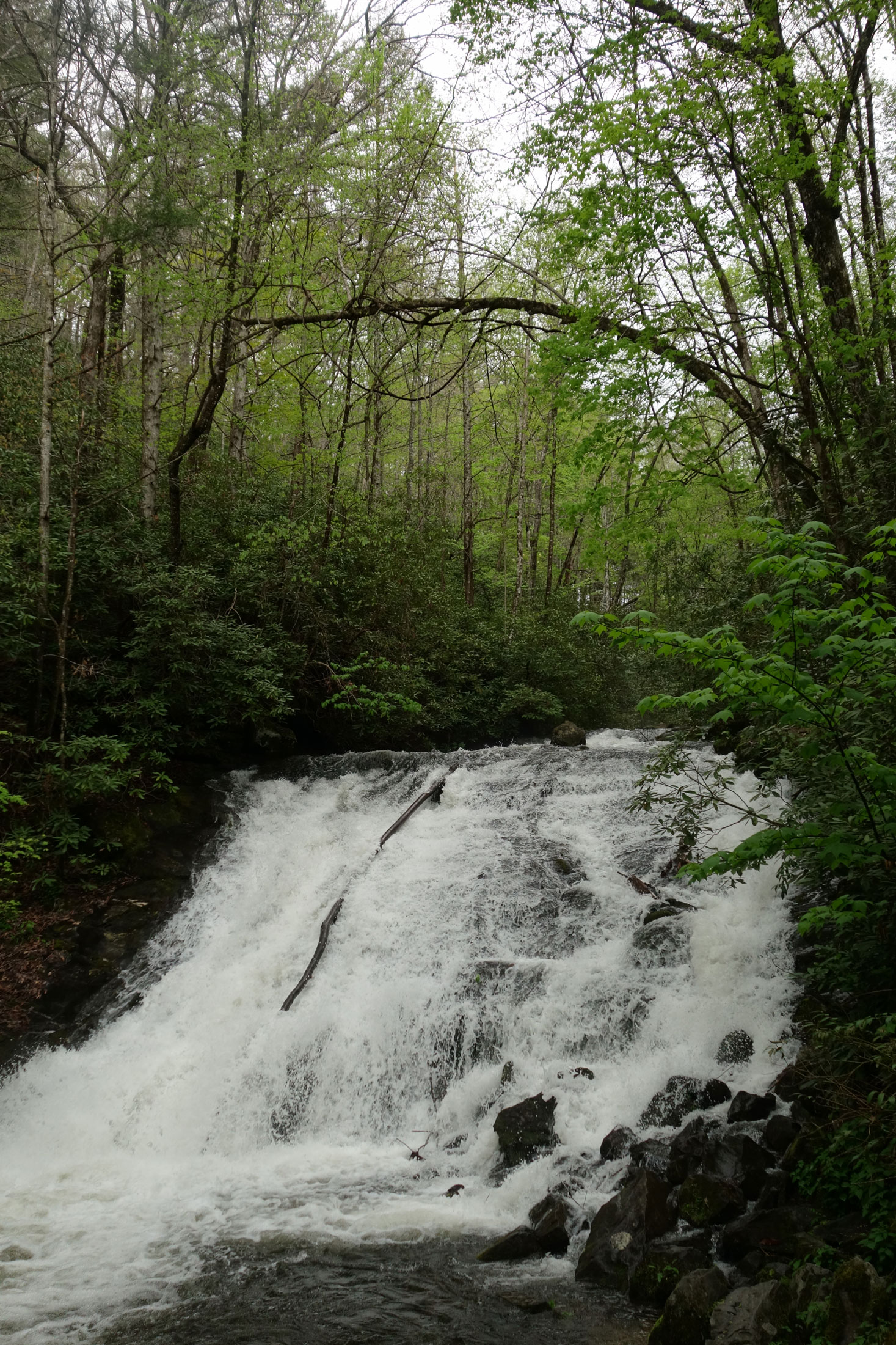
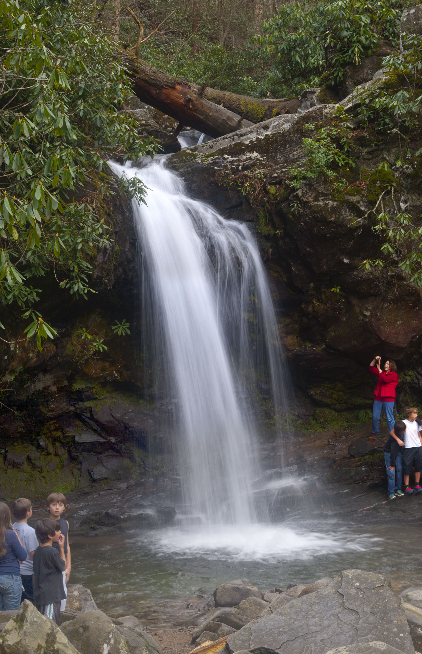
At 0.7 miles roundtrip, Cataract Falls is perhaps the easiest waterfall hike the Smokies offers. The trail is mostly flat, and the trailhead is right behind Sugarlands Visitor Center.
To find it, walk past the restrooms and turn left off the paved path onto Fighting Creek Nature Trail. After you cross a large bridge, the trail will fork. The nature trail goes left, and the trail to Cataract Falls goes right. On the way to the falls, you will go through a short tunnel under Park Headquarters Road and cross the stream on some rocks (a good salamander spot). The 40-foot cascade is a short walk from here.
On your return, check out Evans Chapel Cemetery. To find it, you’ll return to the road you went under previously, but instead of taking the steps down to the tunnel, follow the broad trail to the roadway and take a left. Walk across the bridge and a short way down the road to the intersection. The cemetery is on a small rise to the right. There, you’ll find the large monument with “Evans” carved into it. This stone marks the burial place for Richard Evans (known as Preacher Dick), the first pastor of the Evans Chapel Church, which once stood near here. Rev. Evans and his wife Olive had 12 children, including at least ten daughters.
Three Waterfalls Loop: Juney Whank Falls, Indian Creek Falls, and Tom Branch Falls
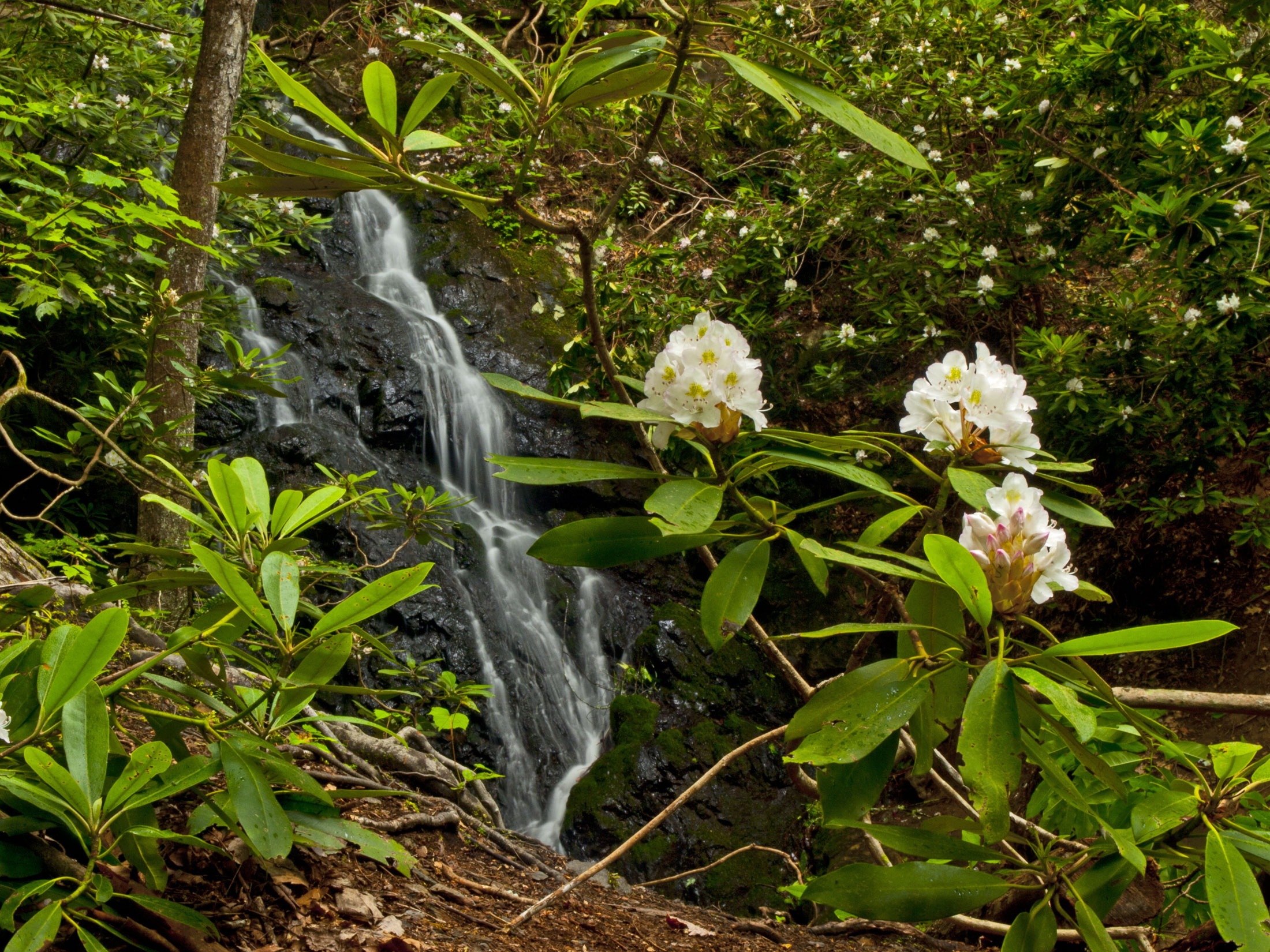
Why see one waterfall when you can have a triple treat? Deep Creek features three splendid, easy-to-reach falls that you can combine into one 2.4-mile roundtrip hike, unofficially called the Three Waterfalls Loop. More good news: you’ll be able to see blooms most of the year here—wildflowers dot the woods in the spring, rhododendron and mountain laurel show off in the summer, and several fall flowers grace the area in early autumn.
To get to Deep Creek, drive to Bryson City, North Carolina, and follow the signs in town that lead to the Deep Creek campground and picnic area. Drive past the turnoff to the campground—do not cross the bridge on the right. Continue past the picnic area immediately after that and park in the large parking lot at the end of the road, where you’ll find the trailheads for both Juney Whank Falls Loop Trail and Deep Creek Trail.
(Please note: There’s an official trail in Deep Creek called the Loop Trail. This is not the same as the Three Waterfalls Loop described here, which is not marked with a sign. If you follow the directions below closely, you shouldn’t get confused or lost.)
Start at the sign for Juney Whank Falls Loop Trail, which follows the wide, graveled Deep Creek Horse Trail for part of the way. (Watch for horse dung!) The start of the trail includes a steep uphill section, but the rest is fairly easy.
Keep following signs to the falls, and before long you’ll take a very short side trail to the right that leads to a lovely little wooden footbridge (complete with bench) crossing Juney Whank Branch in the middle of the 90-foot falls. Above the bridge is the 40-foot upper falls, while below the bridge is the 50-foot lower falls—so don’t forget to look down as well as up.
To reach Indian Creek Falls, continue across the bridge and on the path up the bank. At the top, turn right to get back onto the horse trail. In a short while, you’ll see a sign at a cutoff on the right that goes downhill to Deep Creek Trail. This is actually the continuation of Juney Whank Falls Loop Trail, so take it if you want to return to the parking lot. To see the other falls, ignore this and bear left, staying on the horse trail.
You’ll next walk uphill for about half a mile and then descend to a sharp hairpin turn by a bubbly creek called Hammer Branch, which parallels the trail for a bit. Where the horse trail dead-ends, turn right (downhill) onto Deep Creek Trail. You’ll soon cross two very wide wooden bridges fairly close together that take you over Deep Creek and then Indian Creek.
Immediately after the second bridge, turn left onto Indian Creek Trail, another wide, gravel trail. You’ll see a sign announcing that the falls are in 200 feet. After you’ve walked that far, you’ll see a log bench and another sign to the left of the trail, pointing the way to the falls down the bank. Walk this way to see 45-foot Indian Creek Falls, a pretty little cascade falling over a slanted rock face.
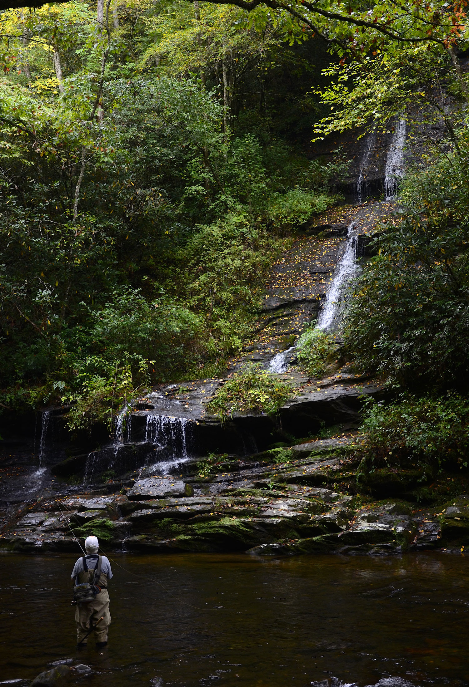
Next, retrace your steps to get back to where you left Deep Creek Trail, just after the second wide wooden bridge. Follow the sign pointing to the trailhead to turn left on Deep Creek Trail. In half a mile, you’ll see 80-foot Tom Branch Falls on the left side of the trail, across the river. Several benches face the falls, offering a great place to admire the view. In 0.2 miles, you’ll be back at the parking lot.
Shorter options: Use Juney Whank Falls Loop Trail to see Juney Whank Falls only (0.6 miles roundtrip) or Deep Creek Trail to visit Tom Branch Falls (0.4 miles roundtrip).
To hike to Indian Creek Falls (1.6 miles roundtrip), start out on Deep Creek Trail. You’ll see Tom Branch Falls on the right after just 0.2 miles. In another half mile, turn right onto Indian Creek Trail and walk about 200 feet to reach Indian Creek Falls. Backtrack the way you came. The elevation gain for this hike is a mere 100 feet.
To combine Juney Whank and Tom Branch falls (about one mile roundtrip), start out on Juney Whank Falls Loop Trail to the falls. Soon after the falls, follow the sign on the right at the cutoff that descends to Deep Creek Trail. Turn left onto Deep Creek Trail and walk only about 50 yards or so to Tom Branch Falls, which will be on the right. Then backtrack on Deep Creek Trail, following it 0.2 miles to the parking lot.
Fun Fact: Both Juney Whank Branch and Juney Whank Falls are thought to be named for a Cherokee man named Junaluska (“Juney” for short) Whank, said to be buried near the falls. The phrase Juney Whank is also a Cherokee name for “Place where the bear passes.”
Grotto Falls (via Trillium Gap Trail)
Grotto Falls is the only place in the park where the trail leads behind a waterfall, and with an elevation gain of 560 feet over 1.2 miles (2.4 miles roundtrip), it’s not too challenging for families to navigate.
The trail takes you through a forest of impressive old-growth hemlock trees and crosses the water several times, finally arriving at the 25-foot falls. (You will get a little wet from the spray as you walk behind the falls, but in warm weather it feels good!) The edge of the pool at the base of the falls is a great place to find salamanders.
Trillium Gap Trail continues past the falls (and gets steeper) for an additional 5.3 miles, going all the way to the summit of Mount Le Conte (which would make the total hike 13 miles roundtrip).
To reach the trailhead, turn at traffic light no. 8 in Gatlinburg and follow Historic Nature Trail/Airport Road to Cherokee Orchard Road and then to Roaring Fork Motor Nature Trail. Park in the lot at marker no. 5.
To hike to Grotto Falls in winter, when Roaring Fork Motor Nature Trail is closed, drive as far as you can on Cherokee Orchard Road and park in the lot by the Rainbow Falls trailhead. Then walk two miles down the motor nature trail to the Trillium Gap trailhead. This option brings your total mileage for this hike to 6.4 miles.
Fun Fact: On Mondays, Wednesdays, and Fridays April through November, you might encounter llamas on Trillium Gap Trail as they take supplies up to LeConte Lodge, which is accessible only by foot. Llamas are the perfect pack animal because their relatively soft hooves are easy on the trails.
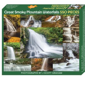
To learn more about waterfall hikes in the Smokies, visit the park’s interactive waterfall map or purchase Waterfalls of the Smokies, a pocket-sized guide featuring more than 40 Smokies waterfalls. Proceeds help the mission of Great Smoky Mountains National Park.
Subscribe to get the latest posts sent to your email.