


Of the Smokies’ most popular hikes, many involve waterfalls. And no wonder: there’s something magical about watching water cascade over rocky cliffs or fall down sudden drops in topography.
These three hikes are some of the best in the park for families, with moderate distances of 4.4 to 5.4 miles roundtrip and an impressive waterfall waiting at the end of each. In general, the best months for waterfalls are March and July, when the Smokies get the most rain. September and October are the driest months, but fall colors framing the falls offer their own brand of beauty, and in the winter—there are few things more beautiful than an icy cascade.
Always remember to prepare properly before setting out on your hike and to be safe near the water. Make sure your kids (and you!) don’t climb on wet or icy rocks next to or in the falls, since they can get slippery. And as tempting as it may be to take a dip in the summertime, don’t. The pools at many of the falls have strong undertows. Drowning is a leading cause of death in the Smokies.
For another slate of family-friendly waterfall hikes offering lower mileages, check out the first part in this blog series.
Hen Wallow Falls (via Gabes Mountain Trail)
At 95 feet high, Hen Wallow Falls is one of the tallest in the park. The trail that takes you there, Gabes Mountain Trail (4.4 miles roundtrip), travels through hemlock trees and rhododendron thickets, following an old roadbed for part of the hike. You can even see the remains of a few homesteads along the trail.
You’ll cross the creek on rocks in a few places, and at the end you take a steep cutoff trail downhill about 800 feet to the base of the falls. At the bottom, right before you get to the falls, look for the unusual, large crystal rocks.
The falls start out narrow (the creek at the top is only two feet wide), but as they spill over the cliff, they bounce onto a large rock that bulges out near the bottom, fanning the water out to about 20 feet at the base. This is an excellent spot for salamander sightings. The elevation gain for this hike is a respectable 520 feet.
The trailhead is located in the lesser-used Cosby area of the park. To get there from Gatlinburg, drive about 19 miles east of town on Route 321 along the northern border of the park. Turn right at the t-intersection in Cosby and follow Route 32 to the park entrance, which is on the right. Drive two miles to the Cosby Picnic Area, near the entrance to the Cosby Campground, and park in the designated hiker parking area. Backtrack on foot about 100 yards along the road to reach the trailhead for Gabes Mountain Trail. If you’re camping at Cosby Campground, you can also take the short access trail near the back of loop A.
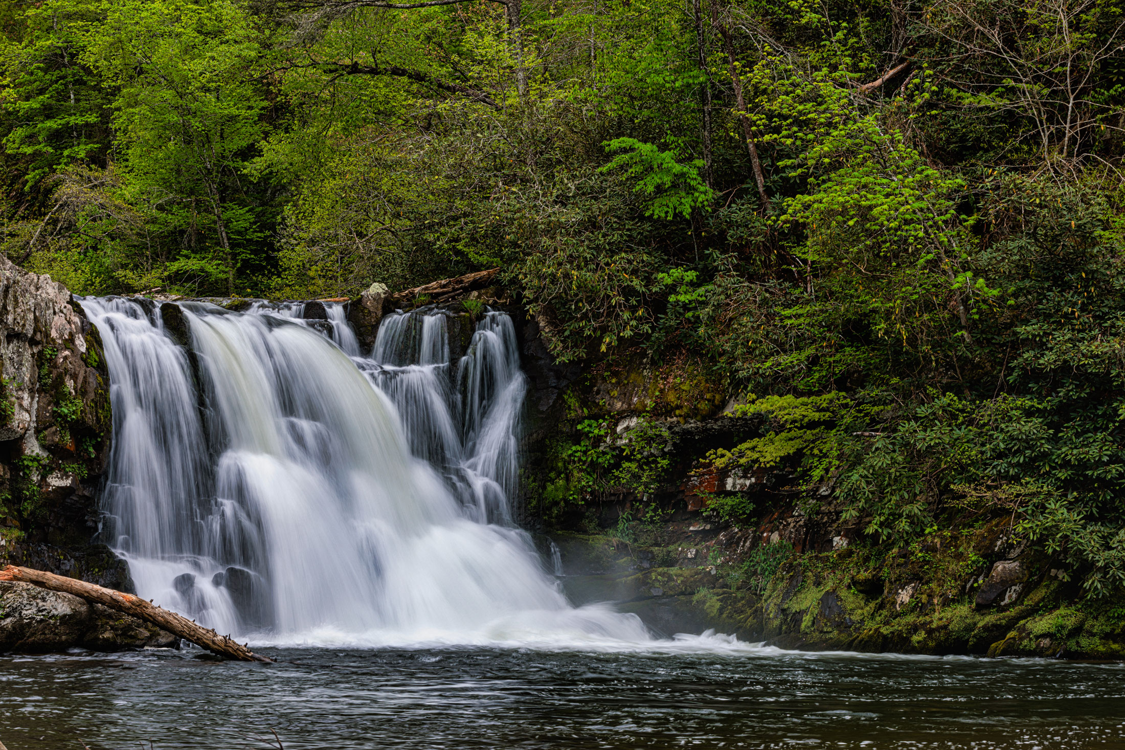
Abrams Falls
These falls are only 25 feet high, but don’t let their small stature fool you—they boast the biggest volume in the park. The sheer force of the water flowing over this ledge, the roar the falls make, and the mist they kick up are all impressive. You may even be able to see a rainbow in the mist if you arrive on a sunny morning.
The lovely pool at the base of the falls is 100 feet across, one of the largest natural pools in the park. The mountain laurel you’ll hike through on the way in makes this a particularly pretty hike in late May. The hike is 5 miles roundtrip, and the elevation gain is a relatively modest 340 feet.
The trailhead is accessible from Cades Cove Loop Road, located down the half-mile gravel road leading to Elijah Oliver Place (about halfway through the loop and the last stop before the Cades Cove Visitor Center).
Fun Fact: Abrams Falls and Abrams Creek were named for a Cherokee chief whose village once stood several miles downstream. He was murdered in 1788 during the frontier conflicts.
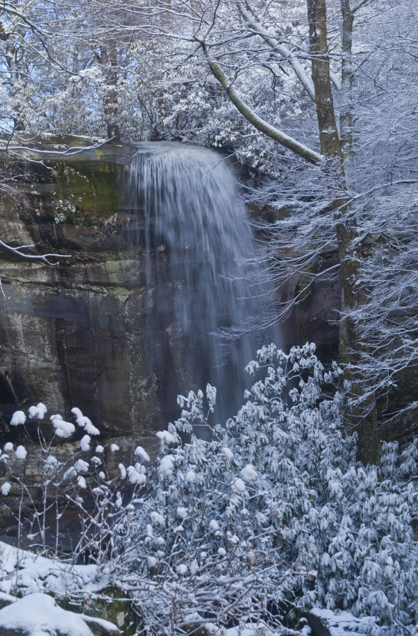
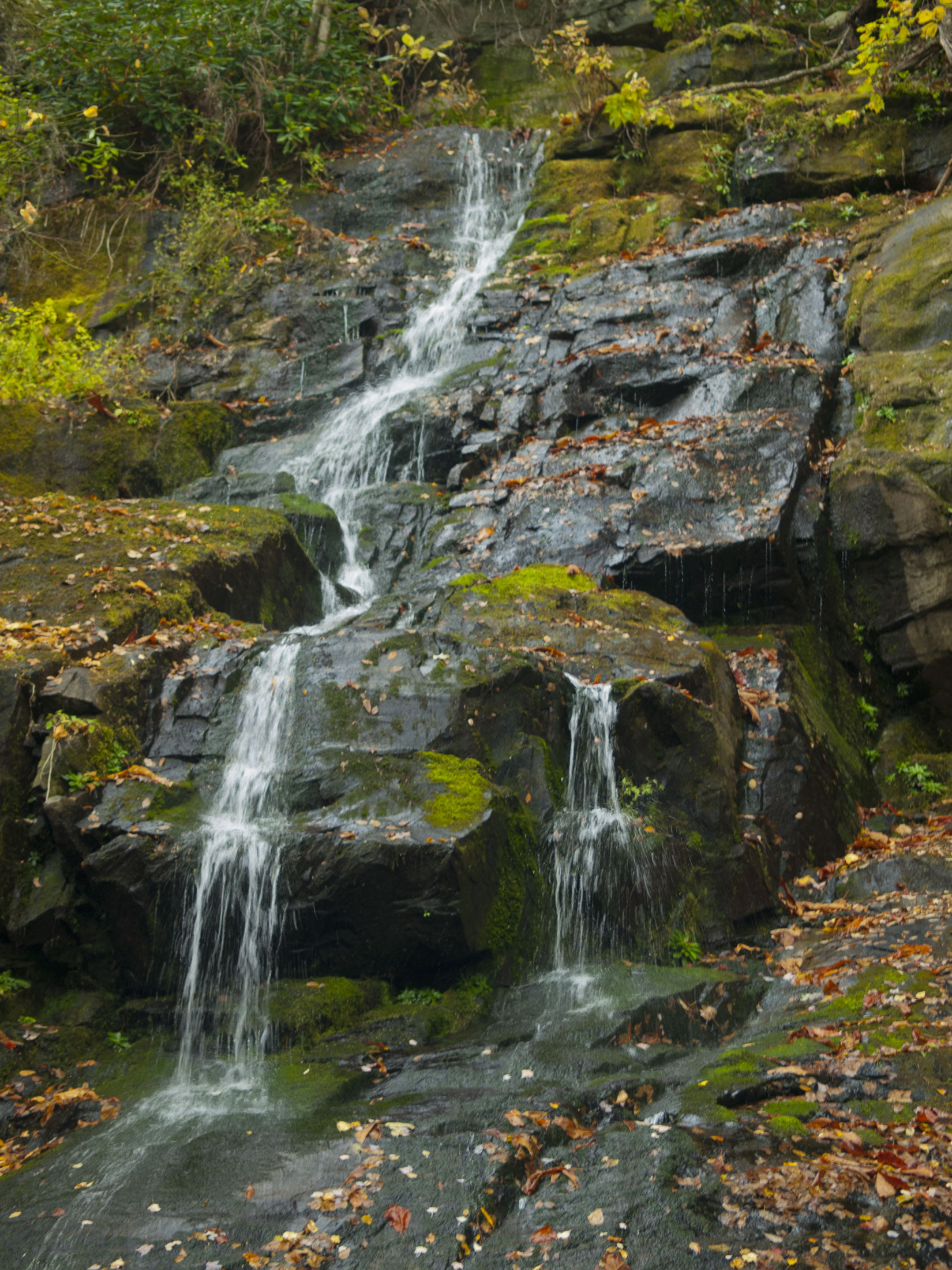
Rainbow Falls
On a sunny afternoon, you may be able to see why these falls got their name—if conditions are right, a rainbow forms in the mist from the 75-foot waterfall. This 5.4-mile roundtrip hike shows off wildflowers in the spring and impressive ice formations during extended periods of winter cold.
You’ll see a smaller eight-foot waterfall on this hike, too, just before the main event. Very soon after these minor falls, you’ll cross two footbridges that offer a lovely view of the larger falls (unless the leaves block the view in summer).
This trail is on the steep side, with an elevation gain of 1,500 feet. Hardy hikers might consider continuing another four miles to the summit of Mount Le Conte for a total of 13.4 miles roundtrip.
To get to the trailhead, turn at traffic light no. 8 in Gatlinburg and follow Historic Nature Trail/Airport Road to Cherokee Orchard Road and the entrance to the national park. Park at the lot just past the Noah “Bud” Ogle home site.
Fun Fact: All the water you see in the streams of the Smokies eventually flows into the Gulf of Mexico.
To learn more about waterfall hikes in the Smokies, visit the park’s interactive waterfall map at nps.gov/grsm/planyourvisit/waterfalls.htm or purchase Waterfalls of the Smokies, a pocket-sized guide featuring more than 40 Smokies waterfalls. Proceeds help support the mission of Great Smoky Mountains National Park.